Alert
Alerts
Description
Map
Ratings and reviews
See around
Camping du Lauzart
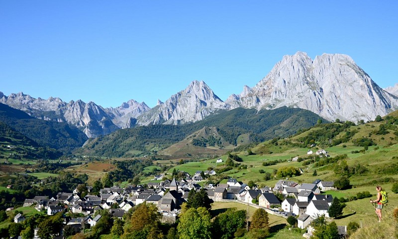
Credit
: © CDT64-P.Gaillard
Description
De la place prendre la ruelle à droite du monument aux morts. Elle descend sur environ 240 m. Sortir du village et prendre à gauche sur 30 m, puis tourner à droite et suivre la route qui descend en pente douce jusqu’au pont ; passer le pont et prendre le sentier qui monte en face. Il débouche sur le camping du Lauzart. Reprendre la route, au carrefour aller tout droit ; 50m avant le pont, prendre un sentier à gauche, traverser le ruisseau sur un pont en béton et rejoindre la route un peu au-dessus, La traverser et prendre le chemin en face qui aboutit de nouveau sur la route.
Technical Information
Lat, Lng
42.934813-0.633983
Coordinates copied
Uncertain state
Point of Interest updated on 01/01/1970
This point of interest hasn't been updated recently, which could compromise the reliability of this information. We recommend that you inquire and take all necessary precautions. If you're the author, please verify your information.
Altimetric profile
Data author

proposed by
Communauté de Communes du Haut-Béarn
12 place Jaca 64400 Oloron-Sainte-Marie Cedex France
Ratings and reviews
To see around