Alert
Alerts
Description
Map
Ratings and reviews
See around
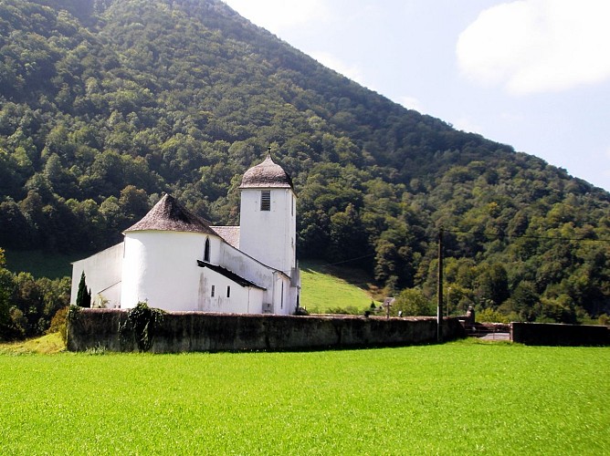
Escot
Credit
: © adt64
Description
Tourner alors à droite et emprunter à 700 m sur la gauche, un chemin poursuivi par un sentier rocailleux jusqu’à l’entrée de Lurbe. Entrer dans le village puis suivre la 3e rue à droite et tourner au bout à gauche. Continuer dans la même direction, par une petite route qui sort du village et parvient devant un pont sur une voie ferrée. Prendre alors à gauche un chemin qui rejoint plus loin une route. Suivre cette dernière à droite, traverser Escot et atteindre la RN 134.
Technical Information
Lat, Lng
43.116229-0.600379
Coordinates copied
Uncertain state
Point of Interest updated on 01/01/1970
This point of interest hasn't been updated recently, which could compromise the reliability of this information. We recommend that you inquire and take all necessary precautions. If you're the author, please verify your information.
Altimetric profile
Data author

proposed by
Communauté de Communes du Haut-Béarn
12 place Jaca 64400 Oloron-Sainte-Marie Cedex France
Ratings and reviews
To see around