Alert
Alerts
Description
Map
Ratings and reviews
See around
Saint-Just-Ibarre
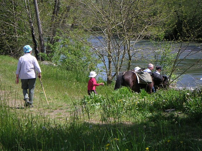
Credit
: © OTBDG-Guilbot
Description
Poursuivre sur le sentier qui rejoint par la droite (ouest puis nord-ouest), longer un abreuvoir pour arriver à un autre petit col (clôtures et barrières à bétail). Emprunter le sentier qui descend à gauche (sudouest). À 90 m, tourner à gauche dans un chemin creux (portillon). Le sentier dévale la colline en lacets (direction générale sud-ouest) jusqu’au torrent. Franchir la passerelle et descendre la piste le long du torrent jusqu’à un carrefour (petite maison en ruines). Tourner à gauche direction Source de la Bidouze puis à droite. Poursuivre le long de la rive gauche jusqu’à la D 68 (transformateur) à l’entrée de Saint-Just-Ibarre.
Technical Information
Lat, Lng
43.177223-1.001078
Coordinates copied
Uncertain state
Point of Interest updated on 01/01/1970
This point of interest hasn't been updated recently, which could compromise the reliability of this information. We recommend that you inquire and take all necessary precautions. If you're the author, please verify your information.
Altimetric profile
Data author

proposed by
Office de Tourisme Pays Basque
64502 France
Ratings and reviews
To see around