Alert
Alerts
Description
Map
Ratings and reviews
See around
Col d’Urdanzia
Credit
: ©
Description
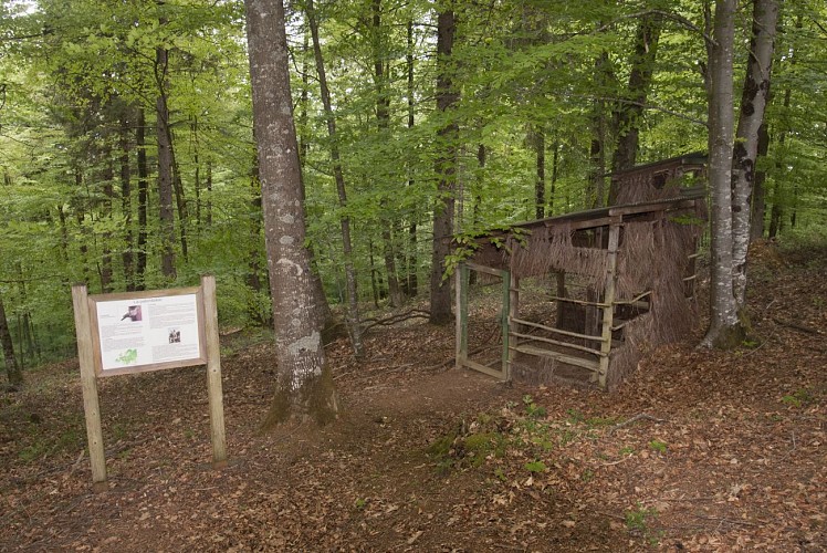
Descendre à gauche sur le col par un sentier et remonter en face, obliquer à gauche au-delà d’une palombière. Le sentier part à flanc et remonte. Passer un 1er ravin au-dessus d’un arbre isolé, continuer 400m et laisser une trace horizontale pour bifurquer à gauche dans l’herbe. Croiser 2 autres ravins (fontaine en haut) et parvenir sur une route (départ bétonné au-dessus). Suivre la route à gauche passant sous une cabane et descendre au col d’Urdanzia (cabane, parc et croix à gauche). Bifurquer 40 m après à droite. Monter jusqu’à un replat avec un terreplein à gauche.
Technical Information
Lat, Lng
43.136953-1.330007
Coordinates copied
Uncertain state
Point of Interest updated on 01/01/1970
This point of interest hasn't been updated recently, which could compromise the reliability of this information. We recommend that you inquire and take all necessary precautions. If you're the author, please verify your information.
Altimetric profile
Data author

proposed by
Office de Tourisme Pays Basque
64502 France
Ratings and reviews
To see around