Alert
Alerts
Description
Map
Ratings and reviews
See around
Route du haut d’Estialescq
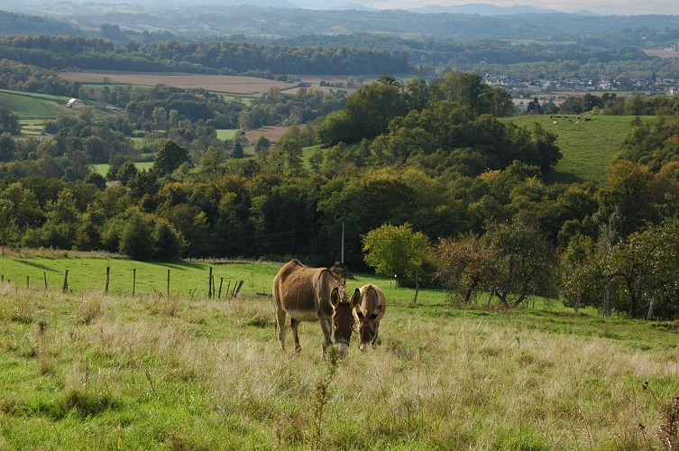
Credit
: ©
Description
Suivre la lisière à droite d’un champ et retrouver 100 m plus loin le passage plus net : une piste descend dans le bois. Au fond, traverser une route, puis un pont dans le bois. Obliquer par la piste de gauche pour gravir le coteau suivant. Déboucher sur une longue crête dégagée ramenant à la route du haut d’Estialescq. Laisser toutes les routes partant à gauche. Faire 200 m après un réservoir.
Technical Information
Lat, Lng
43.256195-0.531196
Coordinates copied
Uncertain state
Point of Interest updated on 01/01/1970
This point of interest hasn't been updated recently, which could compromise the reliability of this information. We recommend that you inquire and take all necessary precautions. If you're the author, please verify your information.
Altimetric profile
Data author

proposed by
Office de tourisme Cœur de Béarn
Ratings and reviews
To see around