Alert
Alerts
Description
Map
Ratings and reviews
See around
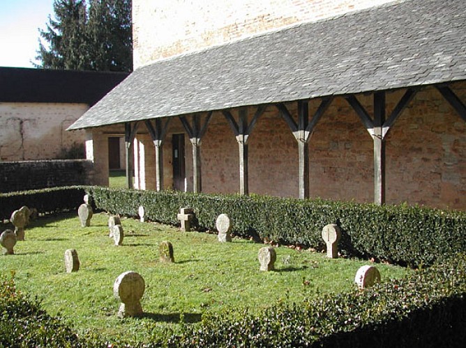
Enclos
Credit
: ©
Description
Depuis la chapelle, suivre le balisage blanc et rouge vers le haut du bourg. Ne pas continuer direction Castille (comme indiqué sur les cartes IGN) mais suivre à gauche sur 250 m la route se raccordant à la D 34. Prendre ensuite à droite. Le chemin contourne un enclos par la gauche et pénètre dans le bois. Trouver au niveau d’une plateforme un sentier grimpant en lacets à droite. A la crête, suivre une piste sur 20 m à droite.
Technical Information
Lat, Lng
43.277339-0.508454
Coordinates copied
Uncertain state
Point of Interest updated on 01/01/1970
This point of interest hasn't been updated recently, which could compromise the reliability of this information. We recommend that you inquire and take all necessary precautions. If you're the author, please verify your information.
Altimetric profile
Data author

proposed by
Office de tourisme Cœur de Béarn
Ratings and reviews
To see around