Alert
Alerts
Description
Map
Ratings and reviews
See around
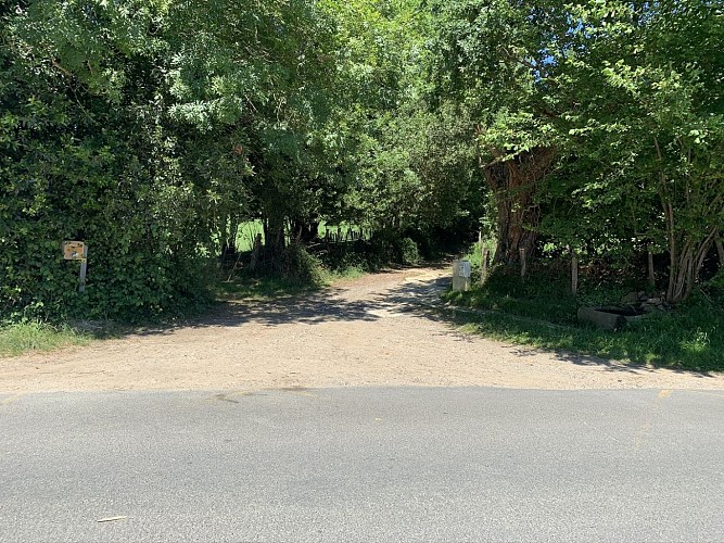
Descente au village
Credit
: Mendi lagunak
Description
Prendre à gauche la route en lacets. Après 1 km de descente, traverser la D249 et prendre en face une piste caillouteuse en montée. Après 500 m de montée en sous-bois d'abord progressive puis raide, le sentier rejoint une croupe. Au niveau de très beaux hêtres, prendre à droite sur une large piste dégagée sur la croupe. Au bout de cette piste, rejoindre une route au niveau d'un virage et prendre à gauche en descente. Continuer toujours tout droit jusqu'à récupérer la D918 où tourner à gauche pour rejoindre le rond point du départ.
Technical Information
Lat, Lng
43.3223551-1.4343174
Coordinates copied
Uncertain state
Point of Interest updated on 01/01/1970
This point of interest hasn't been updated recently, which could compromise the reliability of this information. We recommend that you inquire and take all necessary precautions. If you're the author, please verify your information.
Altimetric profile
Data author

proposed by
Office de Tourisme Pays Basque
64502 France
Ratings and reviews
To see around