To see around
See more
Open
Close
Show
Show
Show
Show
Show
Show
Show
Show
Show
Show
Show

Oups... It would appear that Cirkwi does not have permission to use your location.

Description
Map
Ratings and reviews
See around

Du bois d'Aire Leku à Herboure (route D404)

Herboure
Credit : B.Valcke

Description

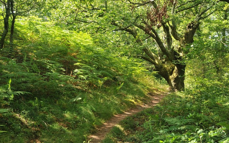
A l'intersection (215 m) avec une piste en terre, la suivre en descente vers la droite (ignorer les sentiers annexes). Le chemin décrit une épingle à gauche sous un gros chêne (vue sur les quartiers d'Urrugne) ; juste après un ruisselet, au Y, opter pour le chemin de droite, qui descend fortement dans les cailloux. A l'entrée d'un plateau et de sa fougeraie, bifurquer à gauche sur un nouveau chemin (2 arbres morts) ; il est prolongé par un sentier. Dans le bois, juste après le petit pont, prendre le sentier qui remonte à gauche. Il alterne ensuite entre clairières et bosquets et coupe trois nouveaux ruisselets. Lorsque vous débouchez sur un pré clôturé, suivre le sentier vers la gauche, le long du grillage.

Technical Information

Lat, Lng
43.3257733-1.6794997
Coordinates copied
Altitude
-99999 m
Uncertain state
Point of Interest updated on 01/01/1970
This point of interest hasn't been updated recently, which could compromise the reliability of this information. We recommend that you inquire and take all necessary precautions. If you're the author, please verify your information.

Altimetric profile

Data author

64502 France

Ratings and reviews

To see around
See more
Open
Close
Show
Show
Show
Show
Show
Show
Show
Show
Show
Show
Show
Caution!
We have no information on the difficulty of this circuit. You may encounter some surprises along the way. Before you go, please feel free to inquire more and take all necessary precautions. Have a good trip! 🌳🥾