Description
Map
Ratings and reviews
See around
Ascension de la colline
Credit
: Mendi Lagunak
Description
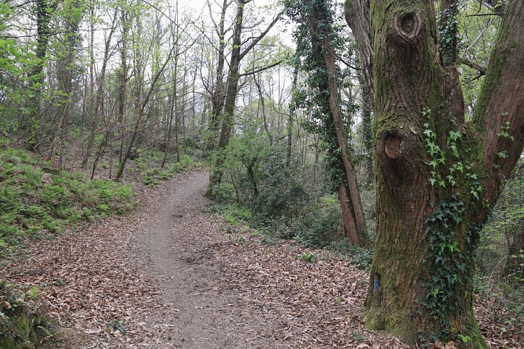
L’itinéraire commence sur une route goudronnée. Au bout de 100 m, un espace de jeux pour enfants se trouve sur la gauche. Suivre la route en laissant sur la gauche une entrée de propriété privée jusqu’à atteindre le début d’un sentier de terre en ascension prononcée sur une centaine de mètres puis plus douce. Le cheminement se poursuit sous un agréable couvert forestier peuplé de différentes essences d’arbres (chênes pédonculés, châtaigniers, merisiers, pins, etc.). Atteindre le plateau sommital après 670 m de progression. Suivre le sentier sous une allée de chênes jusqu’à atteindre le bâtiment Elondare.
Technical Information
Lat, Lng
43.3515765-1.4083947
Coordinates copied
Altitude
-99999 m
Uncertain state
Point of Interest updated on 01/01/1970
This point of interest hasn't been updated recently, which could compromise the reliability of this information. We recommend that you inquire and take all necessary precautions. If you're the author, please verify your information.
Altimetric profile
Data author

Ratings and reviews
To see around