Alert
Alerts
Description
Map
Ratings and reviews
See around
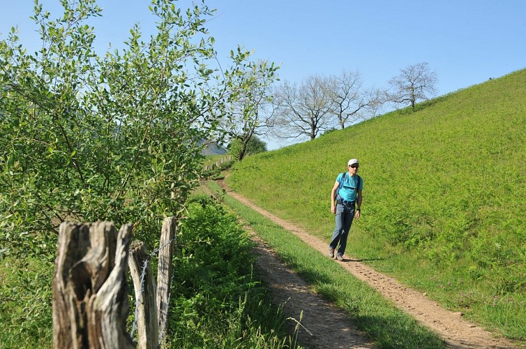
La traversée Macaye-Mendionde
Credit
: B. Valcke
Description
Déboucher sur une voie bétonnée (365 m) sur les hauteurs de Macaye (Uharazkia) : monter 30 m à gauche puis tourner aussitôt à droite pour passer à plat entre deux hangars. Après le second, monter 20 m à gauche sur une rampe en béton puis choisir le chemin à droite. Il descend vite entre des clôtures puis traverse bosquets et prés. Parvenus à une intersection en croix dominant Mendionde (291 m), continuer tout droit sur le chemin de terre. Ignorer plus haut un chemin à droite, puis un à gauche, et parvenir à un captage d'eau : au Y qui suit, choisir la piste qui descend à droite. En bas (intersection en T), suivre un chemin vers la gauche jusqu'à une route.
Technical Information
Lat, Lng
43.3399419-1.3183578
Coordinates copied
Uncertain state
Point of Interest updated on 01/01/1970
This point of interest hasn't been updated recently, which could compromise the reliability of this information. We recommend that you inquire and take all necessary precautions. If you're the author, please verify your information.
Altimetric profile
Data author

proposed by
Office de Tourisme Pays Basque
64502 France
Ratings and reviews
To see around