Alert
Alerts
Description
Map
Ratings and reviews
See around
Descente vers le lac du Xoldokogaina
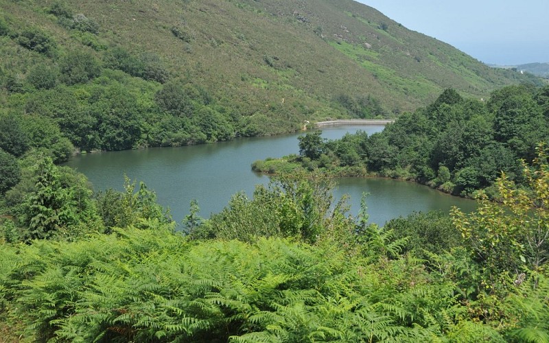
Credit
: B. Valcke
Description
Au bout de la lisière supérieure d'une plantation de résineux, parvenir à une intersection (505 m), proche d'une entrée de grotte (située sur votre gauche) : abandonner ici le sentier balisé GR pour descendre à droite dans l'herbe, de façon rectiligne en bordure de forêt (pente prononcée). En partie basse, longer un bois de hêtres puis, toujours sur le chemin principal de lisière de bois, éviter une bosse par la droite. Derrière, la descente devient plus franche et permet de rejoindre une intersection.
Technical Information
Lat, Lng
43.3116329-1.7004234
Coordinates copied
Uncertain state
Point of Interest updated on 01/01/1970
This point of interest hasn't been updated recently, which could compromise the reliability of this information. We recommend that you inquire and take all necessary precautions. If you're the author, please verify your information.
Altimetric profile
Data author

proposed by
Office de Tourisme Pays Basque
64502 France
Ratings and reviews
To see around