Alert
Alerts
Description
Map
Ratings and reviews
See around
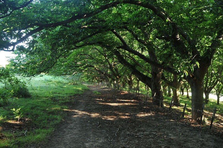
Dans les bois de Saint-Ignace
Credit
: B. Valcke
Description
Sur la crête des redoutes, à l'intersection de trois chemins (250 m), bifurquer à gauche pour descendre face à la Rhune, puis filer à gauche sous la lisière de châtaigniers. A hauteur d'un portillon (à droite), veiller à suivre un sentier discret en face. Après une chicane, couper une piste et déboucher sur une route en contrebas. La longer à droite sur 50 m et plonger à gauche sur un nouveau sentier, très abrupt, en descente, puis en montée. Une fois sur la D4, la suivre à gauche sur 50 m, puis choisir la première voie à droite, puis à gauche le long de la clôture (voie privée).
Technical Information
Lat, Lng
43.3276088-1.5984242
Coordinates copied
Uncertain state
Point of Interest updated on 01/01/1970
This point of interest hasn't been updated recently, which could compromise the reliability of this information. We recommend that you inquire and take all necessary precautions. If you're the author, please verify your information.
Altimetric profile
Data author

proposed by
Office de Tourisme Pays Basque
64502 France
Ratings and reviews
To see around