Alert
Alerts
Description
Map
Ratings and reviews
See around
From Aire Leku wood to Herboure (D404 road)
Credit
: B.Valcke
Description
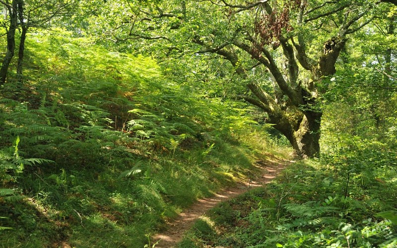
At the intersection (215m) with a dirt track, follow it downhill to the right (ignore the side paths). The path curves to the left under a large oak tree (view of the Urrugne neighbourhood); just after a stream, at the Y-shaped intersection, take the path on the right, which descends steeply through the stones. At the entrance of a plateau ant its fern grove, fork left onto a new path (2 dead trees); it is extended by a small path. In the woods, just after the small bridge, take the path that goes up to the left. It then goes between clearings and copses and crosses three new streams. When you reach a fenced-in meadow, follow the path to the left, along the fence.
Technical Information
Lat, Lng
43.3184627-1.6921261
Coordinates copied
Uncertain state
Point of Interest updated on 01/01/1970
This point of interest hasn't been updated recently, which could compromise the reliability of this information. We recommend that you inquire and take all necessary precautions. If you're the author, please verify your information.
Altimetric profile
Data author

proposed by
Office de Tourisme Pays Basque
64502 France
Ratings and reviews
To see around