Description
Map
Ratings and reviews
See around
From the Abeilles pass to Aire Leku wood
Credit
: B.Valcke
Description
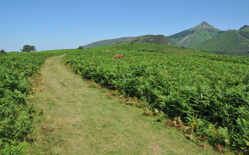
At the Abeilles pass (244m), on the left side of the road, choose the path closed to traffic by a barrier (hiking sign). It leaves the forest, reveals the summit of the Rhune and reaches a clear height. Descend 30m to a small grassy pass (266m), then follow the wide path that goes up to the right, through the ferns. Cross the summit plateau of Aire Leku, pass by a ruin, then go down a path that bends to the left. At the intersection of the Y-shaped paths (252m), take care to choose the one on the left, in the woods. At the second Y-shaped intersection, go left again, uphill. At the third one, go down to the right.
Technical Information
Lat, Lng
43.3209024-1.68423
Coordinates copied
Altitude
-99999 m
Uncertain state
Point of Interest updated on 01/01/1970
This point of interest hasn't been updated recently, which could compromise the reliability of this information. We recommend that you inquire and take all necessary precautions. If you're the author, please verify your information.
Altimetric profile
Data author

proposed by
Office de Tourisme Pays Basque
64502 France
Ratings and reviews
To see around