Alert
Alerts
Description
Map
Ratings and reviews
See around
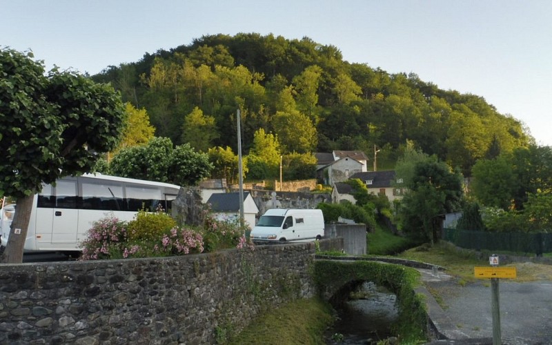
Départ salle des sports
Credit
: CAPB
Description
Suivre cette petite route très agréable, en partie ombragée, qui longe le ruisseau. Laisser une première route à gauche (itinéraire du retour) et continuer tout droit. Près d’un pont, quitter le bitume pour un chemin de terre, toujours tout droit en bordure du ruisseau. On traverse à gué un autre ruisseau avant de sortir plus à découvert. On découvre sur notre gauche le but de la randonnée : le sommet d’Erretzü. Le ruisseau principal coule toujours sur notre droite sous les frênes et les noisetiers. Bientôt, le chemin tourne à droite pour passer au dessus du ruisseau et en deux lacets rejoindre une route goudronnée.
Technical Information
Lat, Lng
43.1146775-0.8573189
Coordinates copied
Uncertain state
Point of Interest updated on 01/01/1970
This point of interest hasn't been updated recently, which could compromise the reliability of this information. We recommend that you inquire and take all necessary precautions. If you're the author, please verify your information.
Altimetric profile
Data author

proposed by
Office de Tourisme Pays Basque
64502 France
Ratings and reviews
To see around