Alert
Alerts
Description
Map
Ratings and reviews
See around
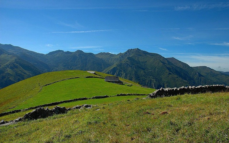
sur les sommets d'Aas
Credit
: otebge.follet
Description
3h20 À gauche, prendre un sentier à flanc. Longer un muret sur votre droite puis prendre le sentier à gauche qui passe sous de petites barres rocheuses. Au col, à gauche, passer devant un abreuvoir, descendre en lacets sur un chemin creux dans une grande pente herbeuse.
Au niveau d’un abreuvoir, descendre à droite sur une petite route. Passer des maisons.
4h05À droite, descendre. Entrer dans Aas et au niveau d’un lavoir, descendre à gauche. Passer devant l’église et prendre à droite. Continuer à descendre sous les arbres par un chemin creux. À Assouste, prendre à gauche sur la route. Remonter, passer un pont sur le Valentin, un petit lac de retenue (barrage) et deux virages serrés.
Technical Information
Lat, Lng
42.9858718-0.3440779
Coordinates copied
Uncertain state
Point of Interest updated on 01/01/1970
This point of interest hasn't been updated recently, which could compromise the reliability of this information. We recommend that you inquire and take all necessary precautions. If you're the author, please verify your information.
Altimetric profile
Data author

proposed by
OT Vallée d'Ossau Pyrénées
64440 France
Ratings and reviews
To see around