Alert
Alerts
Description
Map
Ratings and reviews
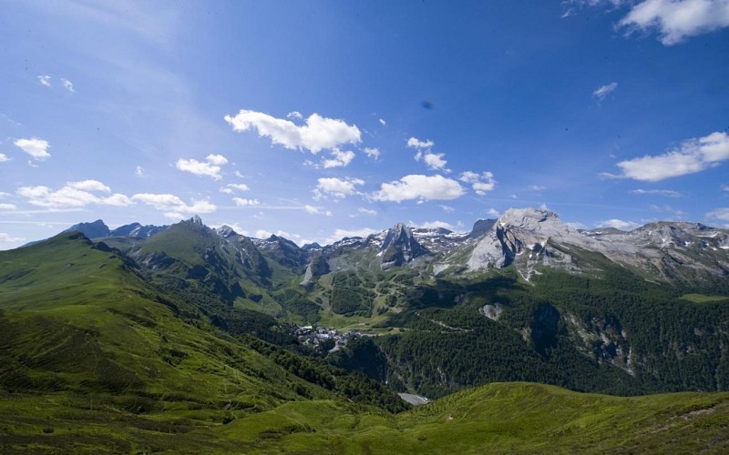
See around
3h20
Credit
: otebge.follet
Description
3h20 Au premier lacet, prendre à droite
puis à gauche, monter jusqu’au sommet du bois noir.
Descendre et au niveau d’une mare, remonter à droite sur la piste de ski que l’on quitte de nouveau 100m plus loin. Monter à droite le sentier jusqu’à rejoindre une nouvelle piste, à proximité du restaurant d’altitude.
4h20 Prendre à droite. Au bassin de rétention, monter à gauche sur 150m puis prendre à droite le sentier qui part vers l'ouest.
Technical Information
Lat, Lng
42.958959-0.341448
Coordinates copied
Uncertain state
Point of Interest updated on 01/01/1970
This point of interest hasn't been updated recently, which could compromise the reliability of this information. We recommend that you inquire and take all necessary precautions. If you're the author, please verify your information.
Altimetric profile
Data author

proposed by
OT Vallée d'Ossau Pyrénées
64440 France
Ratings and reviews
To see around