Alert
Alerts
Description
Map
Ratings and reviews
See around
De la crête de Sagorre à Larraldotte
Credit
: B. Valcke
Description
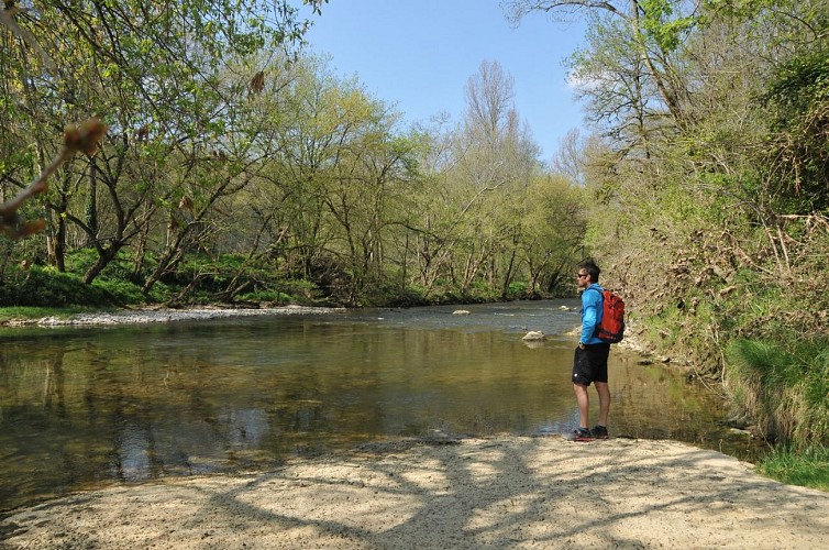
Sur la crête de Sagorre, carrefour en T avec une route (vue sur les sommets basques) : emprunter la route vers la droite (chemin de las Carbouères). Descendre toujours tout droit jusqu'à atteindre la large vallée de la Bidouze. En bas, à l'intersection, aller à droite pour longer les ruines des Carbouères (source timide) et marcher désormais sur l'unique chemin qui ondule en rive droite de la rivière. Passer un gué en béton sur le Louhirasse et atteindre 100 m après l'intersection des ruines de Larraldotte.
Technical Information
Lat, Lng
43.4327261-1.0669031
Coordinates copied
Uncertain state
Point of Interest updated on 01/01/1970
This point of interest hasn't been updated recently, which could compromise the reliability of this information. We recommend that you inquire and take all necessary precautions. If you're the author, please verify your information.
Altimetric profile
Data author

proposed by
Office de Tourisme Pays Basque
64100 France
Ratings and reviews
To see around