Description
Map
Ratings and reviews
See around
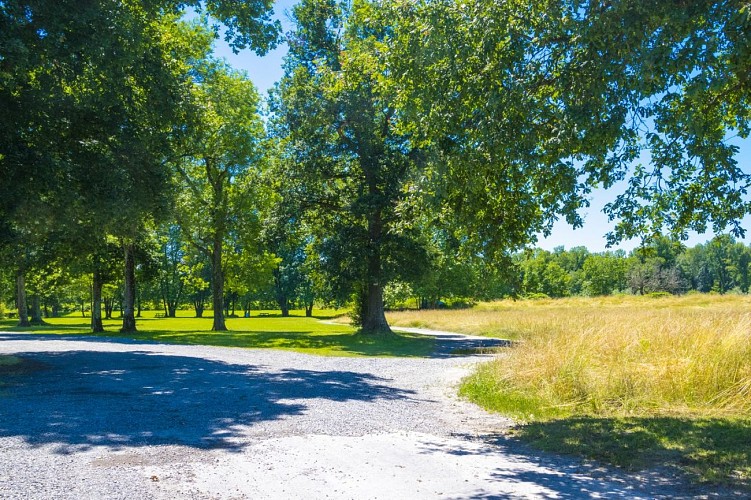
Departure -Plaine des sports et des loisirs car park
Credit
: Pau Pyrénées Tourisme / LA
Description
Take the track that heads towards the Gave and reach the bank.
Turn right and follow the Gave for almost 2 km.
The path then moves away from the Gave and descends towards a canal.
Cross the canal using the footbridge. Then take the track that goes right into the woods.
Continue and turn left, the track makes a right angle. Continue for 120m and turn right.
100m later, turn left (right angle).
Follow the path for 1.2 km until you reach the asphalted road.
Technical Information
Lat, Lng
43.35522-0.51031
Coordinates copied
Altitude
-99999 m
Uncertain state
Point of Interest updated on 01/01/1970
This point of interest hasn't been updated recently, which could compromise the reliability of this information. We recommend that you inquire and take all necessary precautions. If you're the author, please verify your information.
Altimetric profile
Data author

Ratings and reviews
To see around