Alert
Alerts
Description
Map
Ratings and reviews
See around
Descent
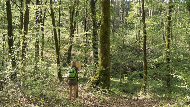
Description
From Olorons' station, take the way "all directions" and follow "Pau". At the roundabout take direction of "Lasseube" (RD 24)and do the same at the next too. Cross the village of Goès and continue in direction of "Estialescq". Turn carefuly on the left at the sign "Bienvenue en terroir de Jurançon". The parking is the departure of the village. Take the path that starts right of the piste near the picnic tables. The winding path slopes down slightly among the chestnut and oak trees. Leave the main track on the left and go down to the embankment. Go up two bends on a headland.
Technical Information
Lat, Lng
43.210626-0.558414
Coordinates copied
Uncertain state
Point of Interest updated on 01/01/1970
This point of interest hasn't been updated recently, which could compromise the reliability of this information. We recommend that you inquire and take all necessary precautions. If you're the author, please verify your information.
Altimetric profile
Data author

proposed by
Communauté de Communes du Haut-Béarn
12 place Jaca 64400 Oloron-Sainte-Marie Cedex France
Ratings and reviews
To see around