Alert
Alerts
Description
Map
Ratings and reviews
See around
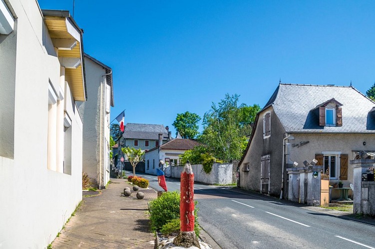
Départ - Parking de la mairie
Credit
: Pau Pyrénées Tourisme / LA
Description
Devant la mairie prendre à gauche et remonter la rue principale.
Prendre les escaliers qui longent la rue par la gauche. À la fin des escaliers passer devant le cimetière et poursuivre sur la rue principale.
Au bout de la ligne droite, partir à droite puis 100m après laisser la rue principale pour le chemin Malapet à droite.
Avant le panneau STOP, tourner à gauche sur le chemin de las Senderos.
Arriver sur le chemin de terre et continuer tout droit. Arriver aux abords de l’aire de repos, prendre la piste à droite et poursuivre jusqu’à la route goudronnée.
Technical Information
Lat, Lng
43.35086-0.46947
Coordinates copied
Uncertain state
Point of Interest updated on 01/01/1970
This point of interest hasn't been updated recently, which could compromise the reliability of this information. We recommend that you inquire and take all necessary precautions. If you're the author, please verify your information.
Altimetric profile
Data author

Ratings and reviews
To see around