To see around
See more
Open
Close
Show
Show
Show
Show
Show
Show
Show
Show
Show
Show
Show

Oups... It would appear that Cirkwi does not have permission to use your location.

Description
Map
Ratings and reviews
See around

Départ

P1120014
Credit : CCVO - Laurent JAVELOT

Description

Départ : Passer l’église de Sainte-Colome et remonter la rue principale en direction de Nay. Au croisement avec le chemin d’Arruets, prendre à droite puis tout de suite à gauche sur le chemin de Terranère. 150m plus loin, s’engager à gauche sur un chemin qui se transforme en sentier.
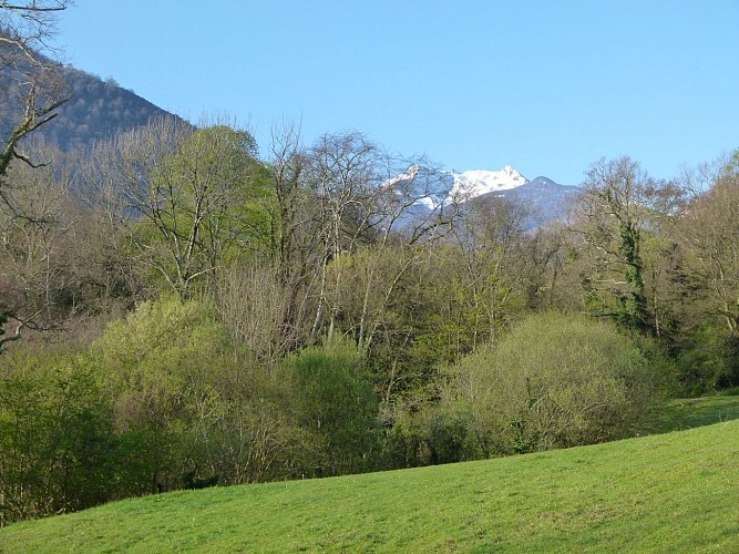
Attention, la descente peut être glissante par temps humide. Au bas du chemin, tourner à gauche, passer la barrière (chicane) et remonter le pré en longeant le bois main gauche.
0h25 À la seconde barrière, descendre à droite, sur 250m, le chemin en pierre jusqu’à une patte d’oie. Bifurquer à droite sur le chemin de Lasbordes. Après quelques lacets, il se transforme
en sentier à travers les buis et les chênes pour atteindre une clairière (semi-barrière).
La traverser, d’abord à plat vers l’est puis en descente direction sud.

Technical Information

Lat, Lng
43.101934-0.404313
Coordinates copied
Altitude
-99999 m
Uncertain state
Point of Interest updated on 01/01/1970
This point of interest hasn't been updated recently, which could compromise the reliability of this information. We recommend that you inquire and take all necessary precautions. If you're the author, please verify your information.

Altimetric profile

Data author

64440 France

Ratings and reviews

To see around
See more
Open
Close
Show
Show
Show
Show
Show
Show
Show
Show
Show
Show
Show
Caution!
We have no information on the difficulty of this circuit. You may encounter some surprises along the way. Before you go, please feel free to inquire more and take all necessary precautions. Have a good trip! 🌳🥾