Alert
Alerts
Description
Map
Ratings and reviews
See around
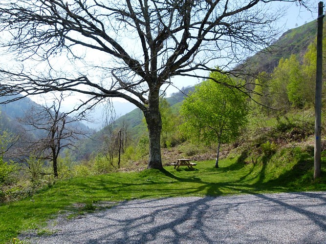
Départ
Credit
: CCVO - Laurent JAVELOT
Description
Cette boucle propose de faire un voyage dans le temps, celui où les mines de fer étaient exploitées sur le territoire des Eschartès, quartier de la commune de Louvie-Soubiron situé à 6h de marche du village !
Un itinéraire jalonné d’informations passionnantes sur l’histoire de cette exploitation, arrêtée en 1962.
Départ : Les mines de Baburet (au quartier des « Eschartès ») se trouvent dans le village de Ferrières (entre Arthez d’Asson et le col du Soulor). Franchir le pont en face de l’église de Ferrières. Rive gauche du gave l’Ouzom, vous êtes déjà sur le territoire des Eschartès, commune de Louvie-Soubiron.
Technical Information
Lat, Lng
43.010197-0.2643
Coordinates copied
Uncertain state
Point of Interest updated on 01/01/1970
This point of interest hasn't been updated recently, which could compromise the reliability of this information. We recommend that you inquire and take all necessary precautions. If you're the author, please verify your information.
Altimetric profile
IGN cards
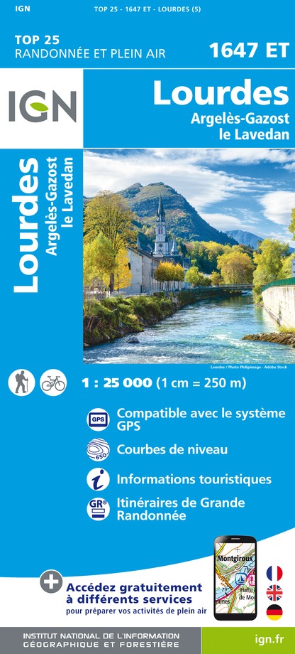
1647ET - LOURDES ARGELES-GAZOST LE LAVEDAN
Editor : IGN
Collection : TOP 25 ET SÉRIE BLEUE
Scale : 1:25 000
13.90€
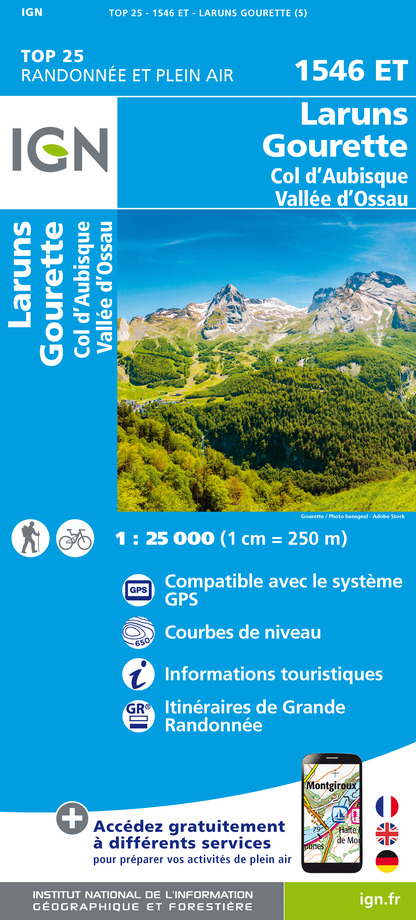
1546ET - LARUNS GOURETTE COL D'AUBISQUE - VALLEE D'OSSAU
Editor : IGN
Collection : TOP 25 ET SÉRIE BLEUE
Scale : 1:25 000
13.90€
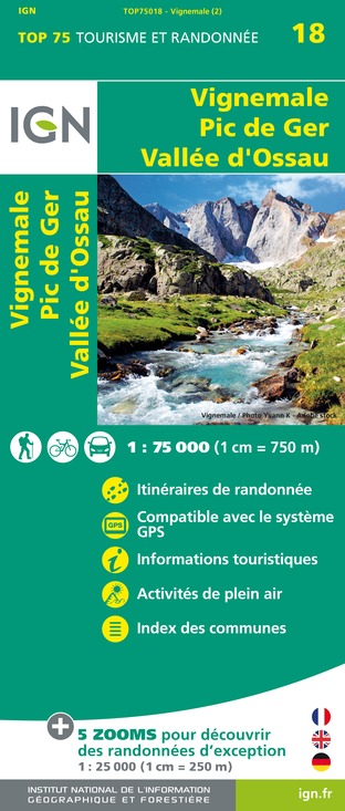
TOP75018 - VIGNEMALE PIC DE GER VALLEE D'OSSAU
Editor : IGN
Collection : TOP 75
Scale : 1:75 000
9.80€

TOP100D64 - PYRÉNÉES-ATLANTIQUES PAU BAYONNE BIARRITZ PAYS BASQUE BÉARN
Editor : IGN
Collection : TOP 100
Scale : 1:100 000
8.40€

TOP100D65 - HAUTES-PYRÉNÉES TARBES LOURDES GAVARNIE NÉOUVIELLE PARC NATIONAL DES PYRÉNÉES
Editor : IGN
Collection : TOP 100
Scale : 1:100 000
8.40€
D31-65 HAUTE-GARONNE HAUTES-PYRÉNÉES
Editor : IGN
Collection : CARTES DÉPARTEMENTALES IGN
Scale : 1:150 000
5.90€

D64 PYRÉNÉES-ATLANTIQUES
Editor : IGN
Collection : CARTES DÉPARTEMENTALES IGN
Scale : 1:150 000
5.90€

NR10 NOUVELLE-AQUITAINE RECTO /VERSO LIMOUSIN POITOU
Editor : IGN
Collection : CARTES RÉGIONALES IGN
Scale : 1:250 000
6.80€

NR11 NOUVELLE-AQUITAINE RECTO/VERSO BASSIN AQUITAIN
Editor : IGN
Collection : CARTES RÉGIONALES IGN
Scale : 1:250 000
6.80€

EUROPE
Editor : IGN
Collection : DÉCOUVERTE DES PAYS DU MONDE IGN
Scale : 1:2 500 000
7.00€
Data author

proposed by
OT Vallée d'Ossau Pyrénées
64440 France
Ratings and reviews
To see around