Alert
Alerts
Description
Map
Ratings and reviews
See around
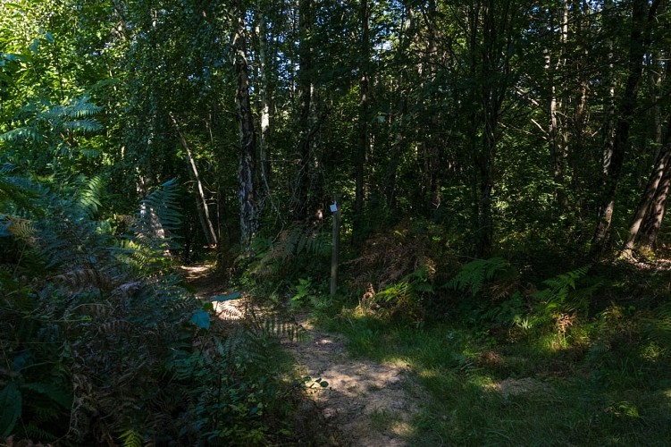
Back to the car park
Credit
: Pau Pyrénées Tourisme - LA
Description
At the end of it, turn left under the power line to take a steeply descending path. Before the paved road, a track comes from the left: turn right. At the junction with the paved road, turn left. After the place called “Puyade”, at the junction with the Chemin de Miramont, continue to the right on the Chemin de la Juscle. Pass the localities of Béteille, Heugas (pretty panorama of the Pyrenees) and join the RD 346. Turn left towards the village of Aubertin and arrive at the car park after the cemetery.
Technical Information
Lat, Lng
43.26556-0.46112
Coordinates copied
Uncertain state
Point of Interest updated on 01/01/1970
This point of interest hasn't been updated recently, which could compromise the reliability of this information. We recommend that you inquire and take all necessary precautions. If you're the author, please verify your information.
Altimetric profile
Data author

Ratings and reviews
To see around