To see around
See more
Open
Close
Show
Show
Show
Show
Show
Show
Show
Show
Show
Show
Show

Oups... It would appear that Cirkwi does not have permission to use your location.

Description
Map
Ratings and reviews
See around

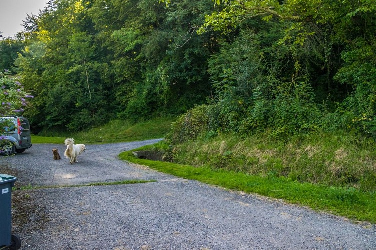
Locality “Bengueres”

rando-pau-aubertin-de-la-helere-a-la-baise-05
Credit : Pau Pyrénées Tourisme - LA

Description

At a place called “Benguères” (take care of the dog), turn left then immediately right on the dirt road. At a place called “Josépou” (take care of the dog), cross the RD 534 and take the Chemin de Gouadélabat opposite. At the 1st crossroads, turn left and continue to a place called “Lacau”. Before the road begins to climb, turn right on a dirt road that passes between 2 houses. Cross the Haget stream and continue straight on the path that climbs into the forest. Join the paved road at the place called “Lèbe” (large white house on the right). Continue straight on the asphalt road which rises slightly. After the place called "Saliou", stay on the asphalt road which goes up to under the high voltage line. Stay on the paved road.

Technical Information

Lat, Lng
43.26473-0.49678
Coordinates copied
Altitude
-99999 m
Uncertain state
Point of Interest updated on 01/01/1970
This point of interest hasn't been updated recently, which could compromise the reliability of this information. We recommend that you inquire and take all necessary precautions. If you're the author, please verify your information.

Altimetric profile

Ratings and reviews

To see around
See more
Open
Close
Show
Show
Show
Show
Show
Show
Show
Show
Show
Show
Show
Caution!
We have no information on the difficulty of this circuit. You may encounter some surprises along the way. Before you go, please feel free to inquire more and take all necessary precautions. Have a good trip! 🌳🥾