To see around
See more
Open
Close
Show
Show
Show
Show
Show
Show
Show
Show
Show
Show
Show

Oups... It would appear that Cirkwi does not have permission to use your location.

Description
Map
Ratings and reviews
See around

Departure - Cemetery car park

rando-pau-aubertin-de-la-helere-a-la-baise-01
Credit : Pau Pyrénées Tourisme - LA

Description

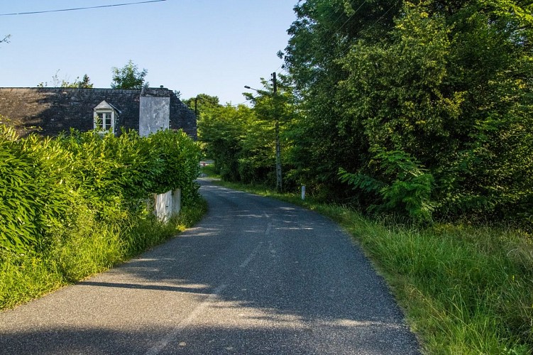
From the car park, turn left on the RD 346 along the cemetery.
Exit the village of Aubertin then turn left on Chemin de Dophiné at the bus shelter. Go up the paved road. At the end of the road, descend along a dirt road on the right. At the foot of the descent, crossing with an asphalt road: turn right. At the next crossing, on the bridge with a green metal barrier, turn right to join the RD 146. Then turn left on the RD 146, continue straight for 150 m and before the bridge over the Baïse, turn left at the level of the House. Go along it and continue straight on a track. At a place called “Bergerou” (ruin), the path passes to the left of the ruin and continues along the hedge away from the edge of the wood. At the crossroads after the house, a place called “Peyrenere”, turn right on the track which remains on the edge of the forest.

Technical Information

Lat, Lng
43.27499-0.4837
Coordinates copied
Altitude
-99999 m
Uncertain state
Point of Interest updated on 01/01/1970
This point of interest hasn't been updated recently, which could compromise the reliability of this information. We recommend that you inquire and take all necessary precautions. If you're the author, please verify your information.

Altimetric profile

Ratings and reviews

To see around
See more
Open
Close
Show
Show
Show
Show
Show
Show
Show
Show
Show
Show
Show
Caution!
We have no information on the difficulty of this circuit. You may encounter some surprises along the way. Before you go, please feel free to inquire more and take all necessary precautions. Have a good trip! 🌳🥾