Alert
Alerts
Description
Map
Ratings and reviews
See around
Back to the car park
Credit
: Pau Pyrénées Tourisme / LA
Description
At the bottom, turn right on the asphalted road.
Continue straight, pass the Bougarber village exit sign, then the Beyrie village entrance sign and continue to the place called “Tapie”.
At the STOP sign, cross the RD 633 and go straight ahead.
Continue on the road for 1km and arrive at a place called “La Heuguère”, turn right on Chemin de Joanbon. Cross the locality (beware of the dogs) and continue on a dirt road.
At the first intersection, turn right on a track that becomes flat.
At the fork, take the uphill track to the left, continue up to the road.
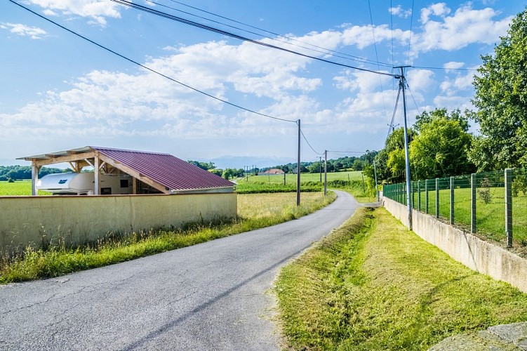
Turn right and return to the starting point.
Technical Information
Lat, Lng
43.38903-0.47253
Coordinates copied
Uncertain state
Point of Interest updated on 01/01/1970
This point of interest hasn't been updated recently, which could compromise the reliability of this information. We recommend that you inquire and take all necessary precautions. If you're the author, please verify your information.
Altimetric profile
Data author

Ratings and reviews
To see around