To see around
See more
Open
Close
Show
Show
Show
Show
Show
Show
Show
Show
Show
Show
Show

Oups... It would appear that Cirkwi does not have permission to use your location.

Description
Map
Ratings and reviews
See around

Col du Rey - Col deus Coïgts

Depuis le sommet du Rey
Credit : CCVO - Francine Magrou

Description

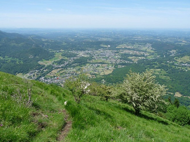
1h40 Du col du Rey, descendre vers la gauche en passant près de belles aubépines. Continuer à descendre raide en serpentant entre les arbres. Le sentier rejoint une piste taillée. 2h20 Partir à droite. En rejoignant la forêt, le chemin part à flanc vers la droite. 2h35 Au croisement avec le GRP® (balisé jaune et rouge), prendre à droite. Le chemin remonte légèrement. On rejoint une piste à 4x4. Passer une réserve d’eau, un abreuvoir et un portail en continuant sur la piste. 2h55 Prendre à droite une piste forestière qui remonte. Prendre toujours à droite la piste la plus raide. 3h15 À gauche, ça monte toujours. 3h30 La piste devient un sentier qui serpente en montant dans une végétation haute.

Technical Information

Lat, Lng
43.076026-0.394291
Coordinates copied
Altitude
-99999 m
Uncertain state
Point of Interest updated on 01/01/1970
This point of interest hasn't been updated recently, which could compromise the reliability of this information. We recommend that you inquire and take all necessary precautions. If you're the author, please verify your information.

Altimetric profile

Ratings and reviews

To see around
See more
Open
Close
Show
Show
Show
Show
Show
Show
Show
Show
Show
Show
Show
Caution!
We have no information on the difficulty of this circuit. You may encounter some surprises along the way. Before you go, please feel free to inquire more and take all necessary precautions. Have a good trip! 🌳🥾