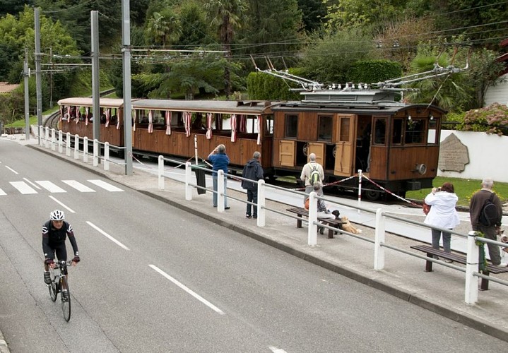
To see around
See more
Open
Close
Show
Show
Show
Show
Show
Show
Show
Show
Show
Show
Show

Oups... It would appear that Cirkwi does not have permission to use your location.

Description
Map
Ratings and reviews
See around

Col de Saint-Ignace

BRU_1612b
Credit : a

Description

S'engager sur le versant opposé pour retrouver le territoire français après une courbe à gauche et progresser désormais en fond de vallée boisée. Après deux petites cotes « casse-pattes », continuer tout droit vers « Sare-centre » à l'intersection (24,5 km). Filer bientôt sous une allée de platanes puis en restant en partie basse de la ville jusqu'à un rond-point. Prendre la voie la plus à gauche (D4 vers Saint-Jean-de-Luz) pour débuter immédiatement le troisième col, celui de Saint-Ignace. Seul le premier kilomètre a un peu de caractère (6%), les deux suivants étant bien dociles (4 puis 2 %). Au col de Saint-Ignace, près du départ du train à crémaillère de la Rhune, il ne reste plus qu'à s'engager dans la descente roulante et sinueuse pour retrouver le centre d'Ascain.

Technical Information

Lat, Lng
43.282228-1.63209
Coordinates copied
Altitude
-99999 m
Uncertain state
Point of Interest updated on 01/01/1970
This point of interest hasn't been updated recently, which could compromise the reliability of this information. We recommend that you inquire and take all necessary precautions. If you're the author, please verify your information.

Altimetric profile

Ratings and reviews

To see around
See more
Open
Close
Show
Show
Show
Show
Show
Show
Show
Show
Show
Show
Show
Caution!
We have no information on the difficulty of this circuit. You may encounter some surprises along the way. Before you go, please feel free to inquire more and take all necessary precautions. Have a good trip! 🌳🥾