Alert
Alerts
Description
Map
Ratings and reviews
See around
Le chemin de Compostelle
Credit
: OTCDB
Description
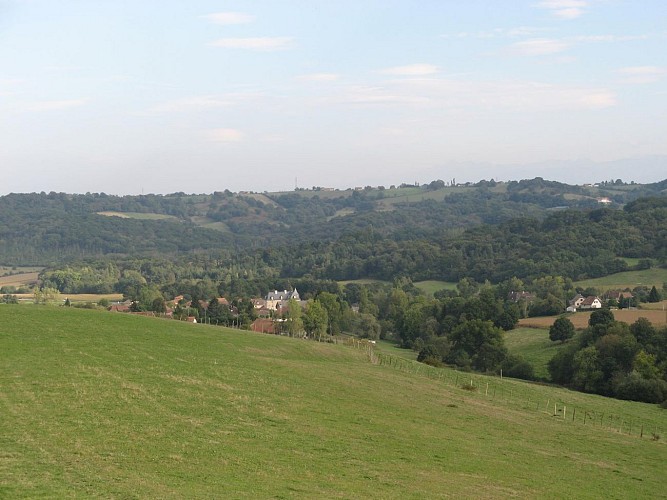
Traverser le ruisseau, après 300m rester sur la piste de gauche qui monte sur le coteau. Rejoindre la ferme, contourner les bâtiments et poursuivre sur le goudron. Au carrefour, bifurquer à gauche et suivre le chemin de Saint-Jacques-de-Compostelle, en direction de Navarrenx. Après 600m, à l’embranchement, rester à gauche vers Navarrenx. Après une grande ligne droite au milieu des champs, à l’entrée de la forêt, tourner sur le chemin à gauche et poursuivre sur la piste de crête sur 500m.
Technical Information
Lat, Lng
43.356742-0.719632
Coordinates copied
Uncertain state
Point of Interest updated on 01/01/1970
This point of interest hasn't been updated recently, which could compromise the reliability of this information. We recommend that you inquire and take all necessary precautions. If you're the author, please verify your information.
Altimetric profile
Data author

proposed by
Office de tourisme Cœur de Béarn
Ratings and reviews
To see around