Description
Map
Ratings and reviews
See around
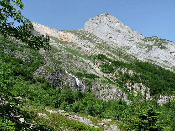
De la piste du Bitet à la forêt
Credit
: CCVO - Francine Magrou
Description
50 m avant le pont, prendre le sentier partant sur la gauche. Il remonte en longeant la rive droite du gave du Bitet que l’on finit par traverser à gué et rejoindre la fin de la piste. Au bout de la zone de parking, passer le ruisseau sous la prise d’eau du Bitet et prendre le sentier qui monte raide dans la forêt. Après un plat, continuer à monter très raide.
Technical Information
Lat, Lng
42.930886-0.465332
Coordinates copied
Altitude
-99999 m
Uncertain state
Point of Interest updated on 01/01/1970
This point of interest hasn't been updated recently, which could compromise the reliability of this information. We recommend that you inquire and take all necessary precautions. If you're the author, please verify your information.
Altimetric profile
Data author

proposed by
OT Vallée d'Ossau Pyrénées
64440 France
Ratings and reviews
To see around