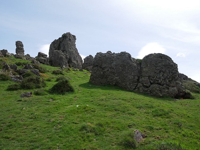
To see around
See more
Open
Close
Show
Show
Show
Show
Show
Show
Show
Show
Show
Show
Show

Oups... It would appear that Cirkwi does not have permission to use your location.

Le col de Bilgoza

Buluntza Etape 3
Credit : Mendi Lagunak

Description

Juste après le col de Buluntza, (et du dolmen qui porte le même nom) quitter la piste qui se divise en deux. Prendre à gauche en direction des rochers constituants la base d’un petit sommet. Choisir son passage entre ces blocs de grès pour atteindre un sommet peu marqué. Descendre légèrement pour suivre la crête où un sentier apparaît. Le pic de Béhorléguy, qui culmine à 1200 m d’altitude, en forme d’arc rocheux, légèrement à gauche, reste visible jusqu’à la fin du parcours. De même les sommets de la célèbre forêt de hêtres d’ Irati se détachent de ce sublime paysage. Le chemin, désormais plus marqué, descend progressivement. Longer une clôture sur la fin pour rejoindre la piste et le parking du départ

Technical Information

Lat, Lng
43.1185898-1.1688784
Coordinates copied
Altitude
-99999 m
Uncertain state
Point of Interest updated on 01/01/1970
This point of interest hasn't been updated recently, which could compromise the reliability of this information. We recommend that you inquire and take all necessary precautions. If you're the author, please verify your information.

Altimetric profile

Data author

64502 France

Ratings and reviews

To see around
See more
Open
Close
Show
Show
Show
Show
Show
Show
Show
Show
Show
Show
Show
Caution!
We have no information on the difficulty of this circuit. You may encounter some surprises along the way. Before you go, please feel free to inquire more and take all necessary precautions. Have a good trip! 🌳🥾