Alert
Alerts
Description
Map
Ratings and reviews
See around
Béharria
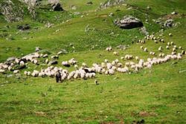
Credit
: © OT GOURETTE
Description
Depuis le fronton à Lasse, monter à gauche vers l’église pour continuer toujours tout droit sur 2km par la route sur le GR10. Au panneau Munhoa monter à droite (alt 363 m).
Arriver à 750m d’altitude, soit 3km plus loin, un abreuvoir étanchera la soif des chevaux au bord de la petite route qu’il faudra traverser deux fois.
Monter sur 700m, jusqu’aux rochers (Béharria alt 854m).
Technical Information
Lat, Lng
43.156966-1.260295
Coordinates copied
Uncertain state
Point of Interest updated on 01/01/1970
This point of interest hasn't been updated recently, which could compromise the reliability of this information. We recommend that you inquire and take all necessary precautions. If you're the author, please verify your information.
Altimetric profile
IGN cards
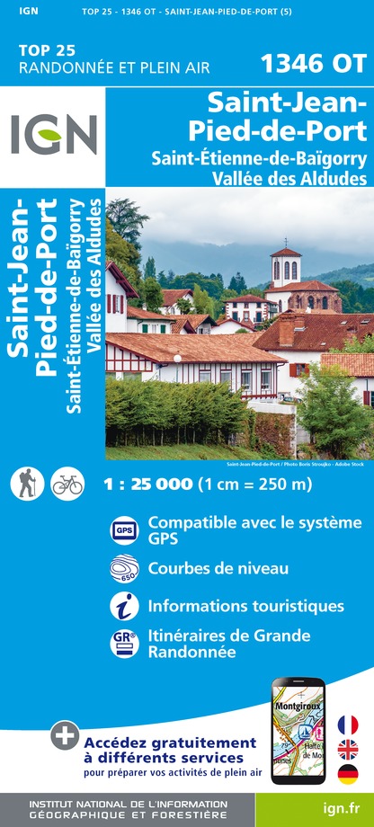
1346OT - ST-JEAN-PIED-DE-PORT ST-ETIENNE-DE-BAIGORRY VALLEE DES ALDUDES
Editor : IGN
Collection : TOP 25 ET SÉRIE BLEUE
Scale : 1:25 000
13.90€

TOP75023 - PAYS BASQUE
Editor : IGN
Collection : TOP 75
Scale : 1:75 000
9.80€

TOP100D64 - PYRÉNÉES-ATLANTIQUES PAU BAYONNE BIARRITZ PAYS BASQUE BÉARN
Editor : IGN
Collection : TOP 100
Scale : 1:100 000
8.40€

166 DAX BAYONNE PAYS BASQUE
Editor : IGN
Collection : TOP 100
Scale : 1:100 000
8.40€

89030 - TRAVERSEE DES PYRENEES GR10®
Editor : IGN
Collection : DECOUVERTE DES CHEMINS
Scale : 1:100 000
9.10€

89021 - ST-JACQUES-DE-COMPOSTELLE GR®65-2 DE MOISSAC A RONCEVAUX
Editor : IGN
Collection : DECOUVERTE DES CHEMINS
Scale : 1:100 000
9.10€

D64 PYRÉNÉES-ATLANTIQUES
Editor : IGN
Collection : CARTES DÉPARTEMENTALES IGN
Scale : 1:150 000
5.90€

NR11 NOUVELLE-AQUITAINE RECTO/VERSO BASSIN AQUITAIN
Editor : IGN
Collection : CARTES RÉGIONALES IGN
Scale : 1:250 000
6.80€

NR10 NOUVELLE-AQUITAINE RECTO /VERSO LIMOUSIN POITOU
Editor : IGN
Collection : CARTES RÉGIONALES IGN
Scale : 1:250 000
6.80€

EUROPE
Editor : IGN
Collection : DÉCOUVERTE DES PAYS DU MONDE IGN
Scale : 1:2 500 000
7.00€
Data author

proposed by
Office de Tourisme Pays Basque
64502 France
Ratings and reviews
To see around