Alert
Alerts
Description
Map
Ratings and reviews
See around
La Croix
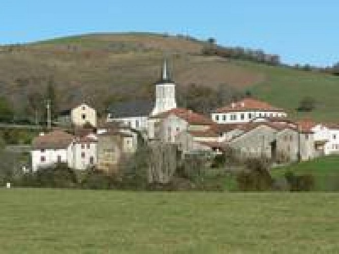
Credit
: © OTBN
Description
Depuis l’église d’Ostabat-Asme, vous devrez prendre la route D508. Vous monterez sur cette route pendant 2,2 km, jusqu’au col d’Ipharlatze. A partir du col d’Ipharlatze, vous devrez prendre le sentier sur votre gauche. Vous devrez monter le sentier tout droit jusqu’à Bertugaine. Vous serez alors à 403 m d’altitude. Vous devrez ensuite descendre jusqu’aux barbelés. Vous serez à une altitude de 345 m. A Lindugnéko Lepoa, vous devrez suivre la clôture qui est en parallèle au chemin, sur une distance de 600 m. Vous monterez ensuite tout droit sur une distance d’environ 180 m. Vous devrez mettre pied à terre à la moitié du raidillon.
Technical Information
Lat, Lng
43.255928-1.0719
Coordinates copied
Uncertain state
Point of Interest updated on 01/01/1970
This point of interest hasn't been updated recently, which could compromise the reliability of this information. We recommend that you inquire and take all necessary precautions. If you're the author, please verify your information.
Altimetric profile
Data author

proposed by
Office de Tourisme Pays Basque
64502 France
Ratings and reviews
To see around