Alert
Alerts
Description
Map
Ratings and reviews
See around
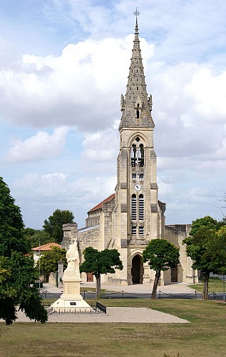
De la place de l'église à la digue de l'herbe
Credit
: Mairie Queyrac
Description
Départ rue du 8 mai 1945, à côté de la Mairie, longer l'église puis prenez la direction Goulée à gauche D102E2 pour atteindre le chemin de Picon, une route goudronnée sur 600m.
Empruntez le 1er chemin appelé "la digue de l'herbe" la digue de l’herbe à gauche également.
Continuez sur 1.6km. Sur cette promenade, vous aurez peut-être la chance d’apercevoir des ragondins (castors musqués), loutres, canards sauvages, hérons cendrées, aigrettes …
Technical Information
Lat, Lng
45.3632893-0.9760685
Coordinates copied
Uncertain state
Point of Interest updated on 01/01/1970
This point of interest hasn't been updated recently, which could compromise the reliability of this information. We recommend that you inquire and take all necessary precautions. If you're the author, please verify your information.
Altimetric profile
Data author

proposed by
OT Médoc Atlantique
33590 France
Ratings and reviews
To see around