Alert
Alerts
Description
Map
Ratings and reviews
See around
Dignac
Credit
: OT MEDOC ATLANTIQUE
Description
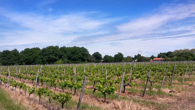
A l’extrémité du chemin prendre à gauche la voie qui vous conduira à Dignac. Vous serez au point culminant de votre randonnée. Continuez toujours tout droit sur le chemin de Perey, jusqu’au stop et prenez la route en face. A la sortie de Dignac, suivez la départementale D103E3. A l’intersection, dirigez-vous vers la gauche puis tournez à droite au panneau « chemin du port de Richard » pour vous diriger vers le port à travers les vignes. Continuez toujours tout droit.
Technical Information
Lat, Lng
45.414439-0.946927
Coordinates copied
Uncertain state
Point of Interest updated on 01/01/1970
This point of interest hasn't been updated recently, which could compromise the reliability of this information. We recommend that you inquire and take all necessary precautions. If you're the author, please verify your information.
Altimetric profile
Data author

proposed by
OT Médoc Atlantique
33590 France
Ratings and reviews
To see around