Alert
Alerts
REFUGE DU FOURCAT (FFCAM)
Description
The highest refuge in a high mountain.
Technical Information
Altimetric profile
Additional information
long description
It is located in the fourcat pond circus crowned by the peaks of Aspre, Tristagne, Malcaras on the High Road of the Pyrenees and on a variant of the GR10.
Opening dates informations and guarded period
From late June to mid-September, and by reservation until the end of September
Activities around
RANDONNEE: Tristagne peak - Fourcat peak - Aspre peak - Malcaras peak - Albeal peak - Pic du Port - Pics in Andorra - Haute Route des Pyrénées (HRP) - GR10 - Montcalm tower RANDONNE SKI: Tristagne peak - Fourcat peak PECHE: small Fourcat pond - Fourcat pond - Oussade pond - Goueille pond - Bee pond
Nearest car parks
Parking at the Pradière power plant
Website
refugeetangfourcat.ffcam.fr
Booking E-mail
refugeetangfourcat@ffcam.fr
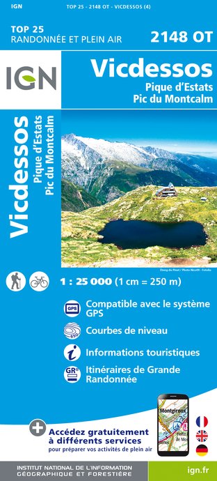
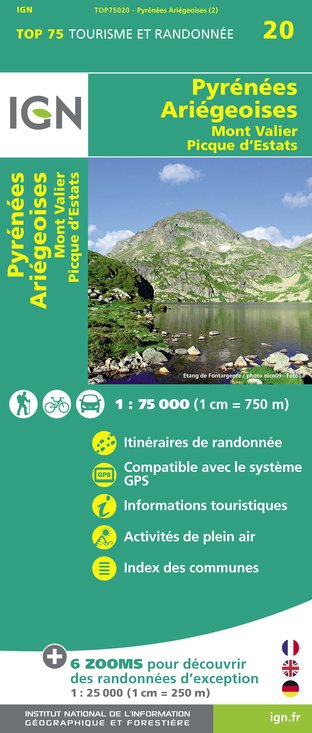
IGN cards


Data author
