Alert
Alerts
Description
Map
Ratings and reviews
See around
Credit
: ©Si de Donnemarie
Description
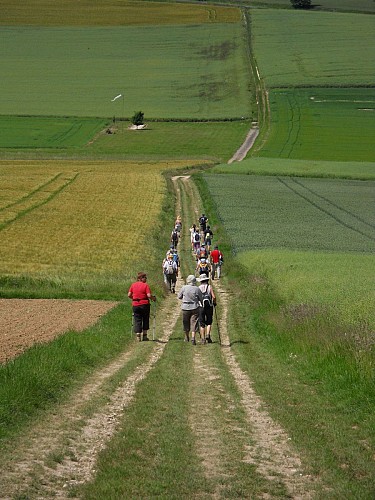
Traverser la route et s’élever en face par un chemin creux jusqu’à la crête. La suivre sur un bon kilomètre (vue sur la vallée de la Seine). Au bout, longer le bois à droite et descendre jusqu’au ru de Suby. Remonter toujours tout droit jusqu’à la D101. L’emprunter en face pour arriver sur Montigny-Lencoup. Tourner à gauche rue de Jussieu puis regagner le parking à gauche.
Technical Information
Lat, Lng
48.42640983.0919218
Coordinates copied
Altitude
62 m
Uncertain state
Point of Interest updated on 01/06/2015
This point of interest hasn't been updated recently, which could compromise the reliability of this information. We recommend that you inquire and take all necessary precautions. If you're the author, please verify your information.
Altimetric profile
Data author

Ratings and reviews
To see around