Alert
Alerts
Description
Map
Ratings and reviews
See around
3
Description
Monter la ruelle à droite. Suivre la route à gauche sur 90 m. Après le rocher, gravir le sentier à droite sur 250 m et grimper à droite sur le plateau. Aller à droite au promontoire du mont Myrrha. Partir à gauche, longer le grillage descendre à droite le chemin de la Cabotte.
Technical Information
Lat, Lng
48.89445-0.20666
Coordinates copied
Uncertain state
Point of Interest updated on 25/04/2023
This point of interest hasn't been updated recently, which could compromise the reliability of this information. We recommend that you inquire and take all necessary precautions. If you're the author, please verify your information.
Altimetric profile
IGN cards
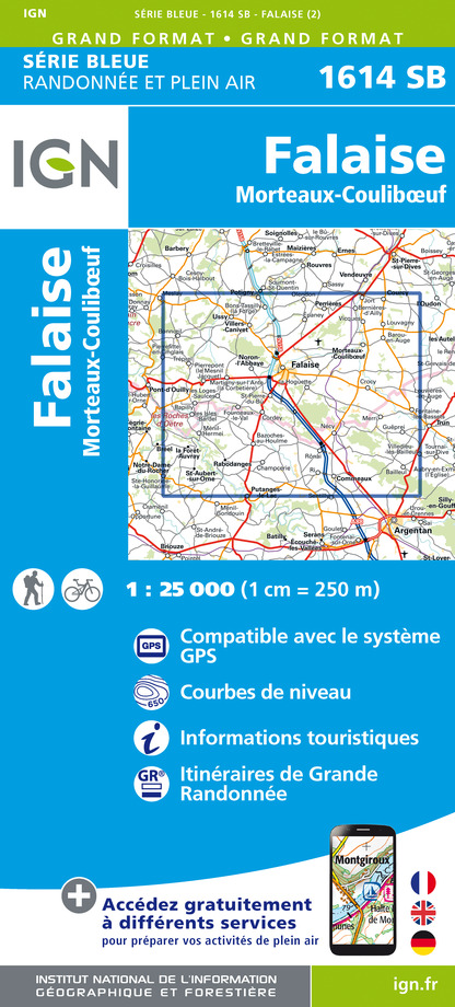
1614SB - FALAISE MORTEAUX-COULIBOEUF
Editor : IGN
Collection : TOP 25 ET SÉRIE BLEUE
Scale : 1:25 000
13.90€
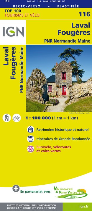
116 LAVAL FOUGÈRES PNR NORMANDIE MAINE
Editor : IGN
Collection : TOP 100
Scale : 1:100 000
8.40€

117 CAEN EVREUX PAYS D'AUGE ET D'OUCHE
Editor : IGN
Collection : TOP 100
Scale : 1:100 000
8.40€

D50 MANCHE
Editor : IGN
Collection : CARTES DÉPARTEMENTALES IGN
Scale : 1:150 000
5.90€
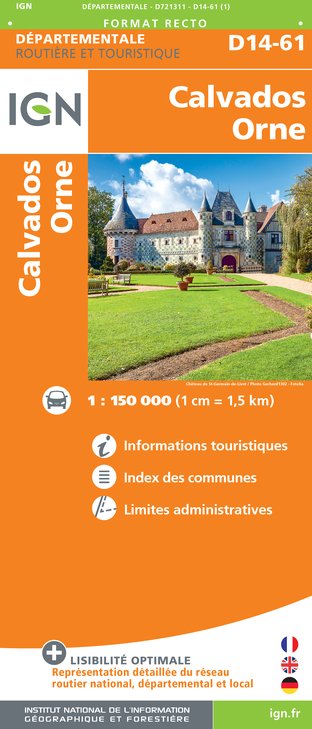
D14-61 CALVADOS ORNE
Editor : IGN
Collection : CARTES DÉPARTEMENTALES IGN
Scale : 1:150 000
5.90€

NR02 NORMANDIE
Editor : IGN
Collection : CARTES RÉGIONALES IGN
Scale : 1:250 000
6.80€

801 FRANCE NORD OUEST
Editor : IGN
Collection : CARTES NATIONALES IGN
Scale : 1:320 000
6.10€

EUROPE
Editor : IGN
Collection : DÉCOUVERTE DES PAYS DU MONDE IGN
Scale : 1:2 500 000
7.00€
Data author

proposed by
Office de Tourisme Falaise - Suisse Normande
5 place Guillaume le Conquérant 14700 FALAISE France
Ratings and reviews
To see around