Alert
Alerts
The Chemin des Falaises

Description
During a tour of maintenance and surveillance, an old path completely disappeared in the vegetation was rediscovered by the ecogardes of the Regional Natural Park of the Vercors. After consulting the cadastre, this trail turned out to be an old communal road. With the authorization of the commune of La Chapelle-en-Vercors and the technical support of local associations, the park's agents were able to re-open it and integrate it into the network of marked hiking trails. You will take it between the crossroads of the Rochers d'Echevis and the Chemin des cliffs. It offers in particular a beautiful viewpoint on the Gorge des Grands Goulets (watch out for the cliff). When you come to the direction sign Chemin des falaises, you will have to go up a little on your left, to find the crossroads of Rochas, and the continuation of the itinerary.
Technical Information
Altimetric profile
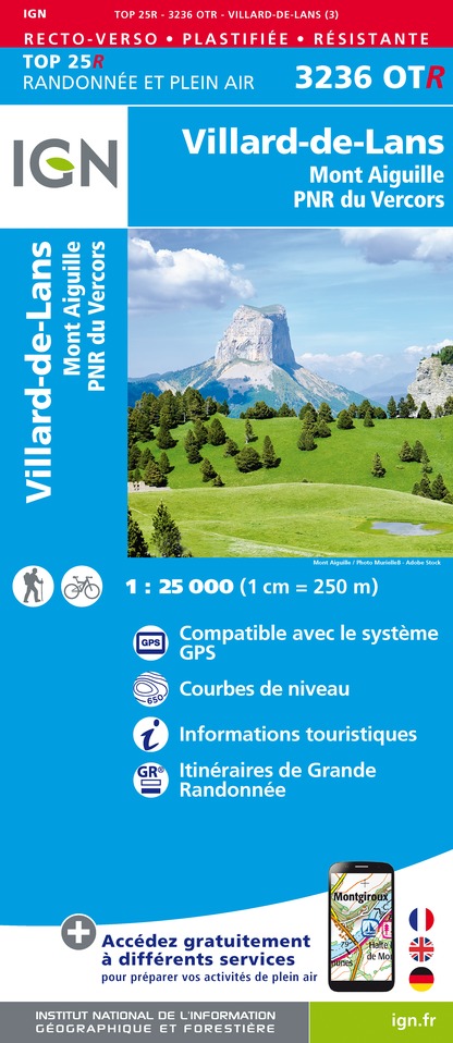
IGN cards


