Alert
Alerts
Description
Map
Ratings and reviews
See around
Col du Bonhomme

Credit
: Julien Heuret - CEN 74
Description
At an altitude of 2329 metres, the Col du Bonhomme links the Val Montjoie to the Beaufortin, and Haute-Savoie to Savoie. It is one of the passes crossed by the GR 5 trail, the Tour du Mont Blanc and the Tour du Beaufortin.
Thanks to its strategic location, this pass has been a crossing point for Romans, peddlers, crystal smiths, and livestock merchants throughout history... In 1860, when Savoie and the Comté de Nice were annexed by France, a free trade zone was established over a large part of northern Savoie, with the pass as one of its boundaries.
Technical Information
Lat, Lng
45.73497256.7064238
Coordinates copied
Point of Interest updated on 22/12/2025
Altimetric profile
IGN cards

3531ETR - SAINT-GERVAIS-LES-BAINS RESISTANTE MASSIF DU MONT BLANC
Editor : IGN
Collection : TOP 25 RÉSISTANTE
Scale : 1:25 000
17.20€

3531OTR - MEGEVE RESISTANTE COL DES ARAVIS
Editor : IGN
Collection : TOP 25 RÉSISTANTE
Scale : 1:25 000
17.20€

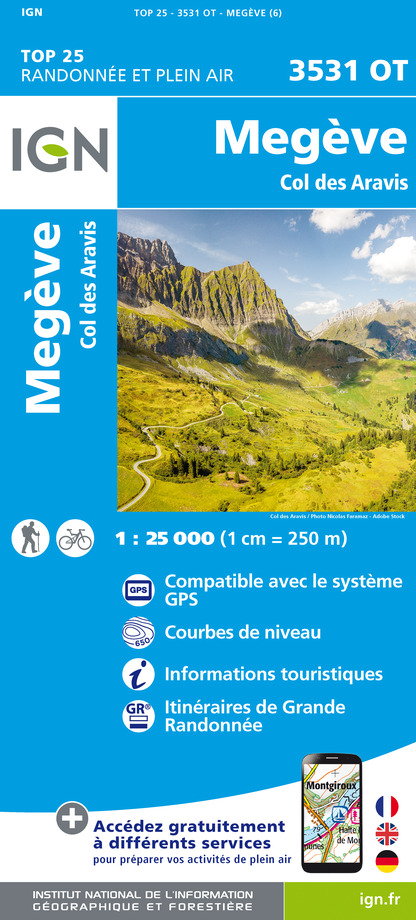
3531OT - MEGEVE COL DES ARAVIS
Editor : IGN
Collection : TOP 25 ET SÉRIE BLEUE
Scale : 1:25 000
13.90€

3531ET - SAINT-GERVAIS-LES-BAINS MASSIF DU MONT BLANC
Editor : IGN
Collection : TOP 25 ET SÉRIE BLEUE
Scale : 1:25 000
13.90€

TOP75004 - BEAUFORTAIN MASSIF DU MONT BLANC
Editor : IGN
Collection : TOP 75
Scale : 1:75 000
9.80€

TOP100D74 - HAUTE-SAVOIE ANNECY THONON-LES-BAINS MASSIF DU MONT BLANC CHAÎNE DES ARAVIS
Editor : IGN
Collection : TOP 100
Scale : 1:100 000
8.40€

TOP100D73 - SAVOIE CHAMBÉRY ALBERTVILLE PARC NATIONAL DE LA VANOISE PNR DU MASSIF DES BAUGES
Editor : IGN
Collection : TOP 100
Scale : 1:100 000
8.40€

202 JURA ALPES DU NORD
Editor : IGN
Collection : TOP 200
Scale : 1:200 000
6.80€

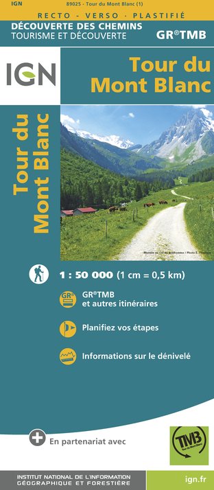
89025 - TOUR DU MONT-BLANC GR TMB®
Editor : IGN
Collection : DECOUVERTE DES CHEMINS
Scale : 1:50 000
9.10€

D38 ISÈRE
Editor : IGN
Collection : CARTES DÉPARTEMENTALES IGN
Scale : 1:150 000
5.90€

NR14 AUVERGNE-RHÔNE-ALPES RECTO/VERSO MASSIF CENTRAL
Editor : IGN
Collection : CARTES RÉGIONALES IGN
Scale : 1:250 000
6.80€

NR15 AUVERGNE-RHÔNE-ALPES RECTO/VERSO MASSIF ALPIN
Editor : IGN
Collection : CARTES RÉGIONALES IGN
Scale : 1:250 000
6.80€

SUISSE
Editor : IGN
Collection : DÉCOUVERTE DES PAYS DU MONDE IGN
Scale : 1:303 000
7.00€

EUROPE
Editor : IGN
Collection : DÉCOUVERTE DES PAYS DU MONDE IGN
Scale : 1:2 500 000
7.00€
Data author

proposed by
RandoNature
Ratings and reviews
To see around