Grand Colombier Mountain range
Description
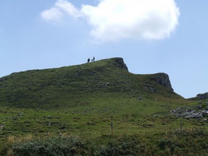
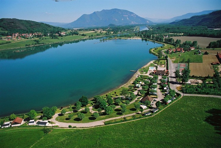
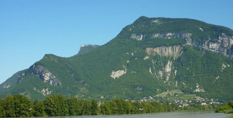
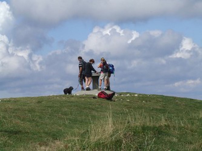
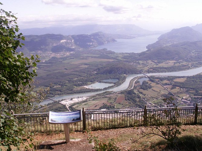
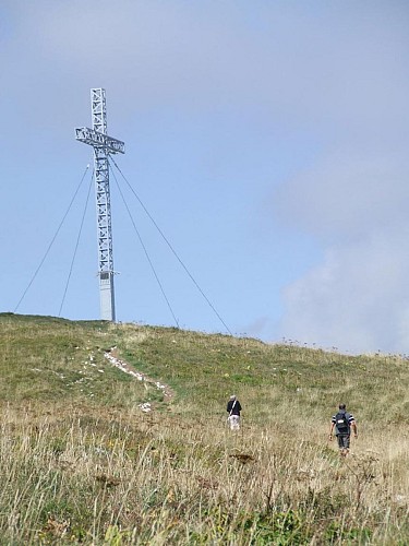
Located to the south of the Jura Massif and Bugey’s highest point
(1531 m), with over 100 km of marked hiking trails (GR9, LWG,
GR) and panoramic views on the Alps (Belledonne
and Mont Blanc), Bugey, Rhone, lake Bourget and Lake Annecy
and Leman. There is the opportunity to discover various sites
and landscapes: forests, grasslands, grangeons (temporary
accommodation for winemakers) the Chartreuse Arvières ruins,
ridge roads and panoramic views on the Alps.
Technical information
01350 Culoz-Béon
Altimetric profile
Additional information
Contact
Phone : 04 79 81 29 06
Email : contact@bugeysud-tourisme.fr
Website : www.bugeysud-tourisme.fr
Open period
Throughout the year : open daily.
Updated by
Office de Tourisme Bugey Sud Grand Colombier - 25/10/2023
www.bugeysud-tourisme.fr
Report a problem
