Alert
Alerts
Igé, (9 TP)
Description
La seigneurie d’Igé était située sur la frontière féodale séparant le Perche du Maine. La place forte de la motte castrale de “Garenne de la Motte”, dans le bois de la Roche faisait partie du système défensif des Bellême. Au XVIIème siècle, Igé fut l’un des foyers importants de l’émigration percheronne au Canada français. L’église Saint-Martin se distingue par son puissant clocher-porche roman dont le portail ouvre sur la nef.
Technical Information
Altimetric profile
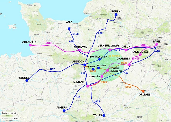
Additional information
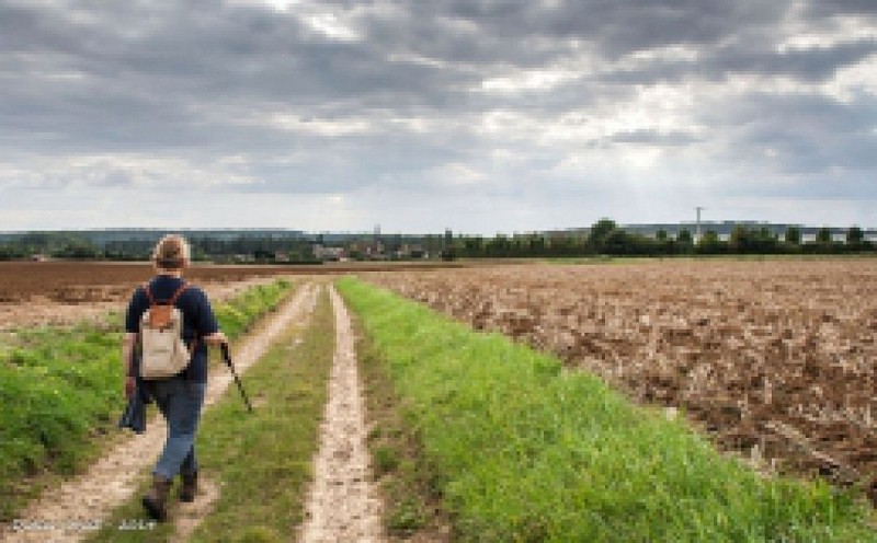
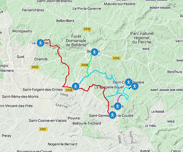
Les 9 Traversées Percheronnes au départ de Igé :
Bellême 15 km/ 4h
ignrando.fr/fr/parcours/fiche/details/id/258289/
Gémages 14,8 km / 4h
ignrando.fr/fr/parcours/fiche/details/id/261178/
Gémages via Appenai-sous-Bellême 17 km / 4h30
ignrando.fr/fr/parcours/fiche/details/id/261167/
La Perrière 16 km / 4h
ignrando.fr/fr/parcours/fiche/details/id/261732/
Prieuré de Sainte Gauburge 18 km / 4h30
ignrando.fr/fr/parcours/fiche/details/id/262307/
Prieuré de Sainte Gauburge via Appenai-/-Bellême 20 km / 5h
ignrando.fr/fr/parcours/fiche/details/id/265362/
Saint-Cyr-la-Rosière 18 km / 4h30
ignrando.fr/fr/parcours/fiche/details/id/261759/
Saint-Cyr-la-Rosière via Appenai-/-Bellême 20 km / 5h
ignrando.fr/fr/parcours/fiche/details/id/265371/
Saint-Germain-de-la-Coudre 12,7 km / 3h
ignrando.fr/fr/parcours/fiche/details/id/262300/
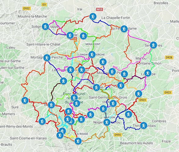
CARTE INTERACTIVE :
Le lien suivant donne accès à une carte interactive qui renvoit tous les liens de chaque itinéraire et points d'intérêt (villes étapes) sur les différentes plateformes dépositaires (IGNrando, Sitytrail et CIRKWI)
www.google.com/maps/d/edit?mid=11jcxorsitdacdg17a7ixocn6ciq5jqbe&usp=sharing
Data author
