Alert
Alerts
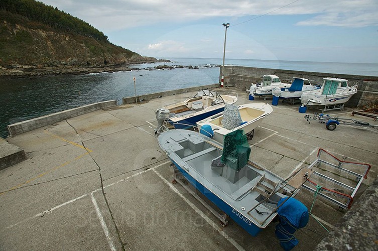
PORT OF RAZO
Description
"Senda do Mar" is a project promoted by Carballo Town Council with European funding through GAC3. It consists of an auto-guided route using QR codes that start from here, the port of Razo, up to the Punta do Sal area, touring the Razo-Baldaio countryside.
On this trail you will find information about the landscape, biodiversity, gastronomy, leisure and traditions of this area and the municipality of Carballo, highlighting the Carballo coastline as a natural resource, as well as an essential space to understand the idiosyncrasies of the area.
The Razo-Baldaio sands are some of the most frequented in the summer by visitors who come to the Costa da Morte. After years of being awarded the Blue Flag, the beach area of Carballo has become a paradise for water sports, where the surfing is king. But in addition to tourism activities, the environmental richness and importance of the biodiversity make this coastline one of the most interesting points to interpret the marine environment. Examples are the dune formations, the Baldaio marsh, Razo cliffs ...
The port where you are now, was once known as the base for fishing boats. Today it has been transformed into a modern marina where we find experienced sailors and lovers of sport fishing.
Listen to the story of this little corner of the Razo coast.
Technical Information
Altimetric profile

Data author
