Alert
Alerts
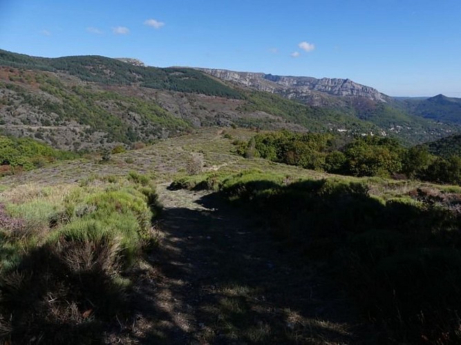
Path history
Description
A network of paths linked Le Massufret with the other hamlets in the municipality. A mule track lead from Montjoie to the Le Massufret (in Montjoie, you can see a circular platform, probably a vestige of an oppidum, a pre-Roman hill-fort). One path led through the valley to Soleyrols, another went to L'Aubaret on Mont Lozère or to Le Masmin, on the other side of the Ventalon ridge. At the time of the Camisards, after the Revocation of the Edict of Nantes (1685), Protestants chose to meet clandestinely, at night, in remote locations. Their gatherings had to kept secret from the authorities. Preachers replaced the exiled pastors and recited Biblical texts. Inhabitants from all four corners of the municipality held gatherings in Le Massufret near a rock below the apiary.
Technical Information
Altimetric profile
Data author
