Alert
Alerts
Description
Map
Ratings and reviews
See around
Mont Lozère
Description
From the plateau, you can see all of Mont Lozère. At 1,699 m, the Pic de Finiels is the department's highest point. Mont Lozère stretches for some thirty kilometres, west-east from the Causse de Sauveterre to Villefort, and south-north from Le Pont de Montvert to Le Bleymard. It is an exclusively granite massif, on which the river Tarn has its spring.
Technical Information
Lat, Lng
44.33496563.556456
Coordinates copied
Uncertain state
Point of Interest updated on 16/11/2022
This point of interest hasn't been updated recently, which could compromise the reliability of this information. We recommend that you inquire and take all necessary precautions. If you're the author, please verify your information.
Altimetric profile
IGN cards

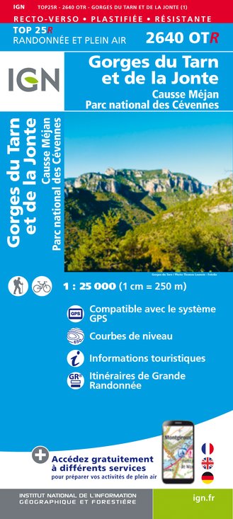
2640OTR - GORGES DU TARN ET DE LA JONTE RESISTANTE CAUSSE MÉJAN PARC NATIONAL DES CÉVENNES
Editor : IGN
Collection : TOP 25 RÉSISTANTE
Scale : 1:25 000
17.20€

2639SB - FLORAC SAINTE-ÉNIMIE GORGES DU TARN
Editor : IGN
Collection : TOP 25 ET SÉRIE BLEUE
Scale : 1:25 000
13.90€

2640OT - GORGES DU TARN ET DE LA JONTE CAUSSE MÉJAN PARC NATIONAL DES CÉVENNES
Editor : IGN
Collection : TOP 25 ET SÉRIE BLEUE
Scale : 1:25 000
13.90€

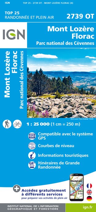
2739OT - MONT LOZÈRE FLORAC PARC NATIONAL DES CÉVENNES
Editor : IGN
Collection : TOP 25 ET SÉRIE BLEUE
Scale : 1:25 000
13.90€

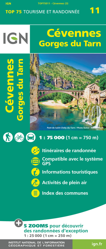
TOP75011 - CÉVENNES - GORGES DU TARN
Editor : IGN
Collection : TOP 75
Scale : 1:75 000
9.80€

TOP100D48 - LOZÈRE MENDE FLORAC-TROIS-RIVIÈRES PARC NATIONAL DES CÉVENNES GORGES DU TARN ET DE LA JONTE
Editor : IGN
Collection : TOP 100
Scale : 1:100 000
8.40€

162 RODEZ MILLAU PNR DES GRANDS CAUSSES
Editor : IGN
Collection : TOP 100
Scale : 1:100 000
8.40€

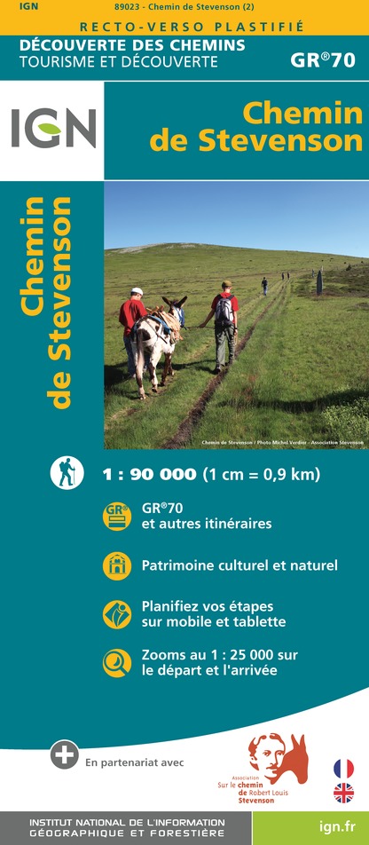
89023 - CHEMIN DE STEVENSON - GR70®
Editor : IGN
Collection : DECOUVERTE DES CHEMINS
Scale : 1:90 000
9.10€

D12-48 AVEYRON LOZÈRE
Editor : IGN
Collection : CARTES DÉPARTEMENTALES IGN
Scale : 1:150 000
5.90€

D30-34 GARD HÉRAULT
Editor : IGN
Collection : CARTES DÉPARTEMENTALES IGN
Scale : 1:150 000
5.90€

EUROPE
Editor : IGN
Collection : DÉCOUVERTE DES PAYS DU MONDE IGN
Scale : 1:2 500 000
7.00€
Data author

proposed by
Parc national des Cévennes
Ancienne gare 48400 Florac-trois-Rivières France
Ratings and reviews
To see around