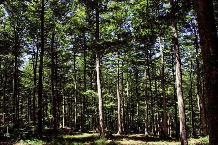
Alert

Alerts

To see around
See more
Open
Close
Show
Show
Show
Show
Show
Show
Show
Show
Show
Show
Show

Oups... It would appear that Cirkwi does not have permission to use your location.

The Aigoual forest

Hêtraie vers Camprieu, Aigoual
Credit : © Olivier Prohin

Description

In the 19th century, Mont Aigoual was almost totally bare of trees. Intensive use of the forest and the pressure of transhumant grazing together with the harsh local climate caused devastating floods. The rich vegetation of the grazing grounds was replaced by heather pastures and many gullies. In the valleys huddling at the foot of Mont Aigoual, terrible floods pushing tons of stones downstream carried off roads and pastureland. In response, a reforestation programme was launched in the second half of the 19th century, which created the forest you see today. Nowadays, the forested Aigoual massif protects the valleys while at the same time providing a space for economic production, biodiversity and leisure.

Technical Information

Lat, Lng
44.09394283.5274273
Coordinates copied
Uncertain state
Point of Interest updated on 16/11/2022
This point of interest hasn't been updated recently, which could compromise the reliability of this information. We recommend that you inquire and take all necessary precautions. If you're the author, please verify your information.

Altimetric profile

Data author

Ratings and reviews

To see around
See more
Open
Close
Show
Show
Show
Show
Show
Show
Show
Show
Show
Show
Show
Caution!
We have no information on the difficulty of this circuit. You may encounter some surprises along the way. Before you go, please feel free to inquire more and take all necessary precautions. Have a good trip! 🌳🥾