Alert
Alerts
Description
Map
Ratings and reviews
See around
PART 1
Description
Turn right on this path going to the river, you are on the GR36 (hiking trail). At the beginning you will pass 2 crossroads in Y, turn left for both of them. Go down to the river and pass under the bridge. The path goes along the river for 1,5 kms with nice part into box tree tunnels.
Technical Information
Lat, Lng
44.191531.98031
Coordinates copied
Altitude
281 m
Point of Interest updated on 20/08/2025
Altimetric profile
IGN cards

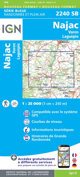
2240SB - NAJAC VAREN LAGUÉPIE
Editor : IGN
Collection : TOP 25 ET SÉRIE BLEUE
Scale : 1:25 000
13.90€

TOP100D81 - TARN ALBI CASTRES PNR DU HAUT-LANGUEDOC
Editor : IGN
Collection : TOP 100
Scale : 1:100 000
8.40€

89020 - ST-JACQUES-DE-COMPOSTELLE GR®65-1 DU PUY-EN-VELAY A MOISSAC
Editor : IGN
Collection : DECOUVERTE DES CHEMINS
Scale : 1:100 000
9.10€

D46-47 LOT LOT-ET-GARONNE
Editor : IGN
Collection : CARTES DÉPARTEMENTALES IGN
Scale : 1:150 000
5.90€

D32-82 GERS TARN-ET-GARONNE
Editor : IGN
Collection : CARTES DÉPARTEMENTALES IGN
Scale : 1:150 000
5.90€

D11-81 AUDE TARN
Editor : IGN
Collection : CARTES DÉPARTEMENTALES IGN
Scale : 1:150 000
5.90€

D12-48 AVEYRON LOZÈRE
Editor : IGN
Collection : CARTES DÉPARTEMENTALES IGN
Scale : 1:150 000
5.90€

EUROPE
Editor : IGN
Collection : DÉCOUVERTE DES PAYS DU MONDE IGN
Scale : 1:2 500 000
7.00€
Data author

proposed by
Bastides et Gorges de l'Aveyron
Promenade du Guiraudet 12200 Villefranche de Rouergue France
Ratings and reviews
To see around