Alert
Alerts
CASTROMIÑÁN: FINISTERRE’S FORT
Description
The "Socalcos da Insua” are sloped terraces with retaining stone walls, and part of Finisterre’s natural heritage.
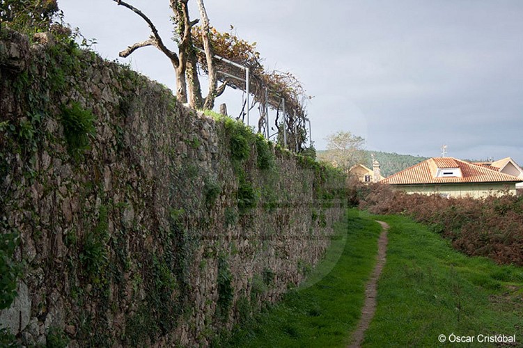
See Cabo da Nave? Behind it, at the Punta do Castelo, is the most magical coastal fort (castro), that of Castromiñán. It seems impossible for anyone to settle on this cliff!
The castros are constructions dating back to the Iron Age, and the ones along this coast were built after the 6th century B.C. Castromiñán lies in a hidden corner of nature, among high cliffs, in an inhospitable place. But the location is no accident: its inhabitants knew they did not need any more defense elements than the surrounding cliffs, where they could not be seen. The beauty of the springs in this fort will render you speechless. One of them has its source at the foot of the fort wall and flows down to the sea, forming a surprising natural moat.
Following the coastline towards the north are Punta Arnela, and the beach of the same name, Punta de las Pardas and Rostro beach. This is the route taken by pilgrims traveling between Finisterre and Muxia, before entering the municipality of Muxia.
Technical Information
Altimetric profile

Data author
