Alert
Alerts
Description
Map
Ratings and reviews
See around
The Croix-Scaille
Credit
: ATGPS-XL 2014
Description
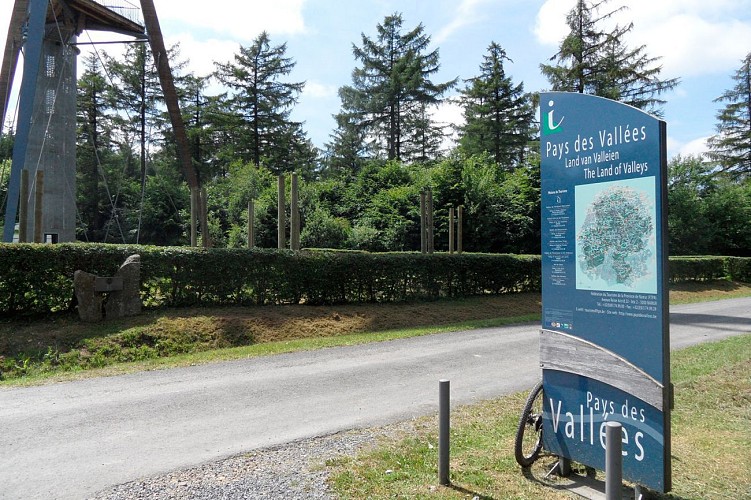
The starting point: the Millennium Tower
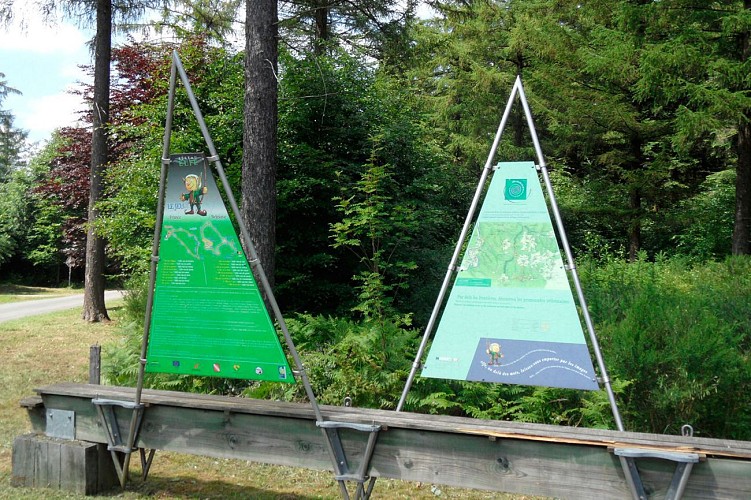
Waymarking: yellow rectangle
The course :
Make your way to the ‘Ferme Jacob’ and then follow the wide forest path (on the right as you leave the farm).
This path takes you to the Alfred Bruck monument. From here, you walk along a small road that joins the main road which you will follow for about 200 metres before turning right and going toward towards the mill stream.
You then take a narrow forest path at the bottom of the valley along the Hulle stream to Collin Bridge.
Technical Information
Lat, Lng
49.95184.84433
Coordinates copied
Uncertain state
Point of Interest updated on 15/01/2015
This point of interest hasn't been updated recently, which could compromise the reliability of this information. We recommend that you inquire and take all necessary precautions. If you're the author, please verify your information.
Altimetric profile
Data author

Ratings and reviews
To see around